Advertisement
If you have a new account but are having problems posting or verifying your account, please email us on hello@boards.ie for help. Thanks :)
Hello all! Please ensure that you are posting a new thread or question in the appropriate forum. The Feedback forum is overwhelmed with questions that are having to be moved elsewhere. If you need help to verify your account contact hello@boards.ie

Dublin Picture Game

Options
13233353738230

Comments

  • Registered Users Posts: 24,993 ✭✭✭✭Wishbone Ash


    Is No. 2 Church Terrace?


  • Registered Users Posts: 2,454 ✭✭✭cast_iron


    1 is the national museum
    No.
    Is No. 2 Church Terrace?
    No.


  • Registered Users Posts: 3,593 ✭✭✭johnnyrotten


    Is no.1 Trinity College entrance at NAssau Street


  • Registered Users Posts: 2,454 ✭✭✭cast_iron


    Is no.1 Trinity College entrance at NAssau Street
    Nope.


  • Subscribers Posts: 16,587 ✭✭✭✭copacetic


    1 is national gallery not national museum.


  • Advertisement
  • Registered Users Posts: 78,404 ✭✭✭✭Victor


    cast_iron wrote: »
    2.
    47855.JPG
    That could be anywhere. I'm wondering if it is a side street near Holles Street Hospital.


  • Registered Users Posts: 78,404 ✭✭✭✭Victor


    Try these 3 for size.


  • Registered Users Posts: 78,404 ✭✭✭✭Victor


    deswalsh wrote: »
    Yes people had the building, but no-one named the street. I wasnt too sure of the name of the building myself that why I held off for the street name.
    One of Dublin's oldest streets apparently.
    I demand a recount! It does appear to be the hostel.


  • Subscribers Posts: 16,587 ✭✭✭✭copacetic


    Victor wrote: »
    Try these 3 for size.

    1. looking toward bride street?
    2. grand canal dock?
    3. north wall?


  • Registered Users Posts: 78,404 ✭✭✭✭Victor


    copacetic wrote: »
    1. looking toward bride street?
    2. grand canal dock?
    3. north wall?
    No, no, no. :)


  • Advertisement
  • Subscribers Posts: 16,587 ✭✭✭✭copacetic


    Victor wrote: »
    No, no, no. :)

    I'll get my coat..:o


  • Moderators, Recreation & Hobbies Moderators Posts: 21,252 Mod ✭✭✭✭Dub13


    Victor wrote: »
    Try these 3 for size.

    1)Is that Summerhill near the junction of the NCR...?


  • Registered Users Posts: 706 ✭✭✭the boss of me


    No 3 is Sir John Rogersons/ Hanover quay ??


  • Registered Users Posts: 24,993 ✭✭✭✭Wishbone Ash


    We generally wait until the previous ones have been identified before posting another. cast iron's pics are still 'live'! ;)


    Victor wrote: »
    Try these 3 for size.

    1. Former Irish Rail freight HQ (used to be a hotel) on the North Wall.

    2. The former Wool Store also on the North Wall (and beside pic No. 1 ;))


  • Registered Users Posts: 24,993 ✭✭✭✭Wishbone Ash


    ...........and is No. 3 beside the Docklands Rail Station?


  • Registered Users Posts: 78,404 ✭✭✭✭Victor


    No 3 is Sir John Rogersons/ Hanover quay ??
    Correct. Although strictly speaking its Sir John Rogersons Quay at Forbes Street. Hanover Quay is on the other side of the peninsula. http://maps.google.com/maps?f=q&hl=en&geocode=&time=&date=&ttype=&q=dublin&ie=UTF8&ll=53.345677,-6.237279&spn=0.002117,0.004989&t=k&z=18&om=1

    1. Former Irish Rail freight HQ (used to be a hotel) on the North Wall.

    2. The former Wool Store also on the North Wall (and beside pic No. 1 ;))
    Correct (I didn't know it was a wool store). 1 & 2 are actually from the same photo. :)http://maps.google.com/maps?f=q&hl=en&geocode=&time=&date=&ttype=&q=dublin&ie=UTF8&ll=53.34789,-6.236039&spn=0.002117,0.004989&t=k&z=18&om=1


  • Subscribers Posts: 16,587 ✭✭✭✭copacetic


    so you are telling me the only one that wasn't the north wall was the one I said was?!!?


  • Registered Users Posts: 24,993 ✭✭✭✭Wishbone Ash


    1. Former Irish Rail freight HQ (used to be a hotel) on the North Wall.

    2. The former Wool Store also on the North Wall (and beside pic No. 1 )
    Victor wrote: »
    Correct (I didn't know it was a wool store)

    The Former British Rail Hotel

    In 1867, the Midland and Great Western Railway began developing the railway, extending it around 1873, when it was formally opened by the then viceroy, Lord Spencer. In 1883, the increase in traffic between the ferry and the railway led to the replacement of an existing hotel called the Prince of Wales with a new hotel called the Northwest Hotel, which served both sets of passengers. The original structure was built prior to 1866 but is not recorded on the first edition of the Ordnance Survey, published in 1847 (surveyed in 1838). Stylistically, the building appears to date to after 1850. The former hotel building was demolished to make way for the construction of a new, ornate façade for the so-called British Rail Hotel (the current building on the site). The hotel was occupied by British officers during the War of Independence and, according to local folklore, was a frequent target of the IRA. It became known as the British Rail Hotel after the nationalisation of the railways but had ceased to be a hotel in the 1920s. It now houses offices of Iarnród Éireann. Its historical associations provide a link to an era when travel between Ireland and Britain was a more difficult and time-consuming undertaking than it is today. Its association with the British Army is an interesting sideline of greater complexity that may deserve further research.

    The Wool Store

    The Wool Store has an imposing presence on the western side of the original Wapping Street. It was constructed between 1847 and 1864 and was therefore probably built as a port facility, immediately prior to the coming of the railway. It was subsequently incorporated into the London and North Western Railway Company's North Wall Station, although it was never directly accessible from the railway sidings. In the 1940s, it was referred to as the Wool Warehouse Stable, and it has been derelict since the early 1980s.


  • Registered Users Posts: 2,454 ✭✭✭cast_iron


    copacetic wrote: »
    1 is national gallery not national museum.
    Correct.
    Victor wrote: »
    That could be anywhere. I'm wondering if it is a side street near Holles Street Hospital.
    Correct. Well done Victor. Top marks.

    Despite the fact it could have been anywhere, I'm always amazed how people seem to know the location in these heavily cropped, obscure photos.:)


  • Registered Users Posts: 706 ✭✭✭the boss of me


    copacetic wrote: »
    so you are telling me the only one that wasn't the north wall was the one I said was?!!?

    LMAO .......class ... pure class ...:D


  • Advertisement
  • Closed Accounts Posts: 14,013 ✭✭✭✭eirebhoy


    Victor wrote: »
    That could be anywhere. I'm wondering if it is a side street near Holles Street Hospital.
    Very well done! It's called Wilson Place. It's literally straight across from my house too. :) That bike you can just see on the right hasn't moved for 2 years.


  • Registered Users Posts: 24,993 ✭✭✭✭Wishbone Ash


    Well done Victor on Wilson Place - that's impressive! :)

    Eyes down!

    1.

    1-21.jpg

    2.

    2-16.jpg

    3.

    3-15.jpg

    4.

    4-11.jpg

    5.

    5-11.jpg


  • Closed Accounts Posts: 19,986 ✭✭✭✭mikemac


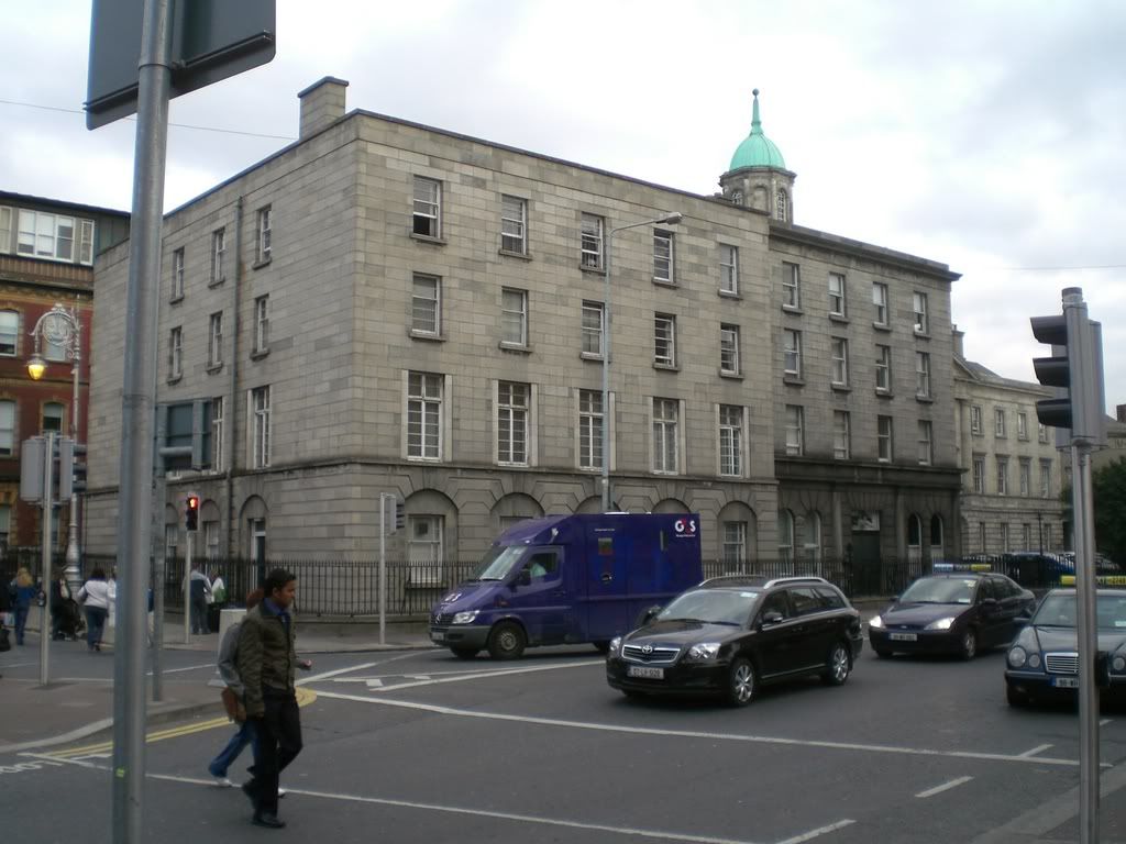
    1. Anglesea Road
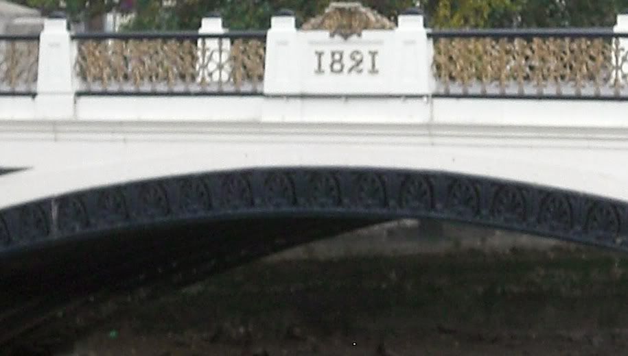
    5. Bridge beside Heuston Station


  • Closed Accounts Posts: 4,784 ✭✭✭Dirk Gently


    3 is parnell street , junction at parnell square just at the rotunda


  • Closed Accounts Posts: 9,700 ✭✭✭tricky D


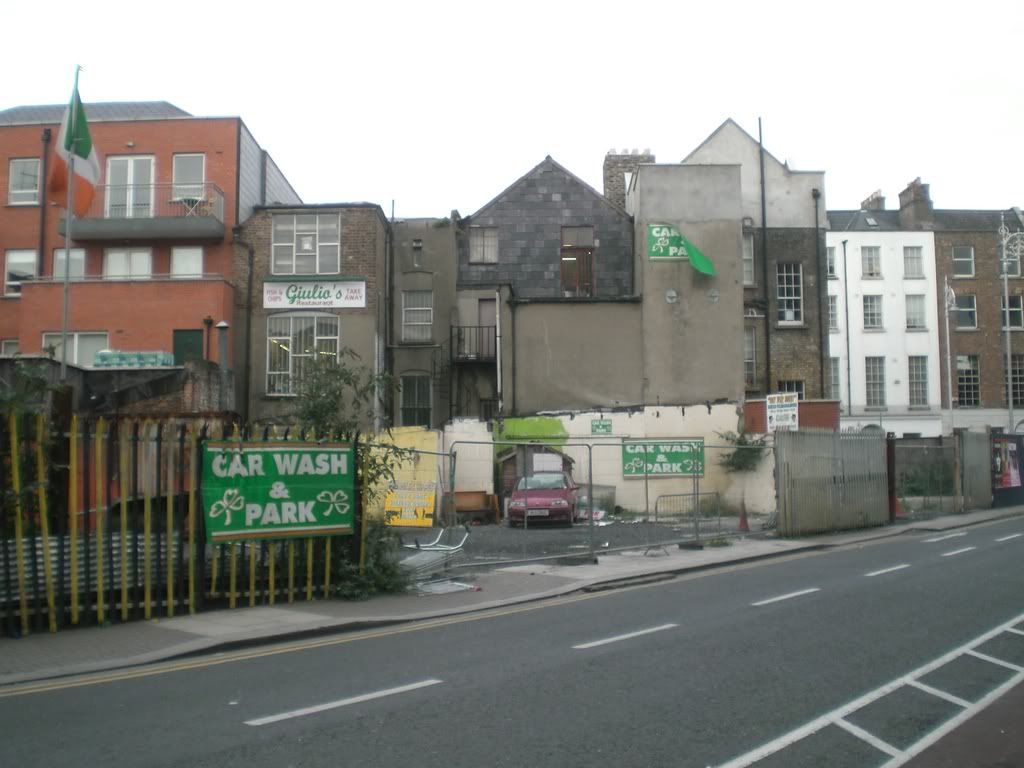
    2 Back of upr capel st/ryder's row
    3 chancery st area?? - wrong, reckon clown bag is right


  • Registered Users Posts: 24,993 ✭✭✭✭Wishbone Ash


    micmclo wrote: »
    1. Anglesea Road
    No.
    micmclo wrote:
    5. Bridge beside Heuston Station
    Yup - can you name it?
    clown bag wrote: »
    3 is parnell street , junction at parnell square just at the rotunda
    Well done clown bag!

    TheRotunda2.jpg
    tricky D wrote: »
    2 Back of upr capel st/ryder's row
    Yup - Ryder's Row.

    RydersRow.jpg


  • Closed Accounts Posts: 19,986 ✭✭✭✭mikemac


    No.
    Yup - can you name it?

    Ah come on, I've given the location :)
    I think it's called King's Bridge (from Kingsbridge Station).
    No doubt it's been renamed but my guess it King's Bridge


  • Moderators, Category Moderators, Education Moderators Posts: 27,202 CMod ✭✭✭✭spurious


    micmclo wrote: »
    Ah come on, I've given the location :)
    I think it's called King's Bridge (from Kingsbridge Station).
    No doubt it's been renamed but my guess it King's Bridge

    Originally Kingsbridge, then Sarsfield bridge, now Sean Heuston bridge.

    It's like Opal Fruits - they change the name but everyone still knows it as the old name.


  • Registered Users Posts: 24,993 ✭✭✭✭Wishbone Ash


    micmclo wrote: »
    Ah come on, I've given the location :)
    I think it's called King's Bridge (from Kingsbridge Station).
    No doubt it's been renamed but my guess it King's Bridge
    Sean Heuston Bridge! ;)

    Indeed it was formerly called King's Bridge and was built to commemerate the visit of King George IV in 1821.


  • Advertisement
  • Subscribers Posts: 16,587 ✭✭✭✭copacetic


    1. is western way


This discussion has been closed.
Advertisement