Advertisement
If you have a new account but are having problems posting or verifying your account, please email us on hello@boards.ie for help. Thanks :)
Hello all! Please ensure that you are posting a new thread or question in the appropriate forum. The Feedback forum is overwhelmed with questions that are having to be moved elsewhere. If you need help to verify your account contact hello@boards.ie
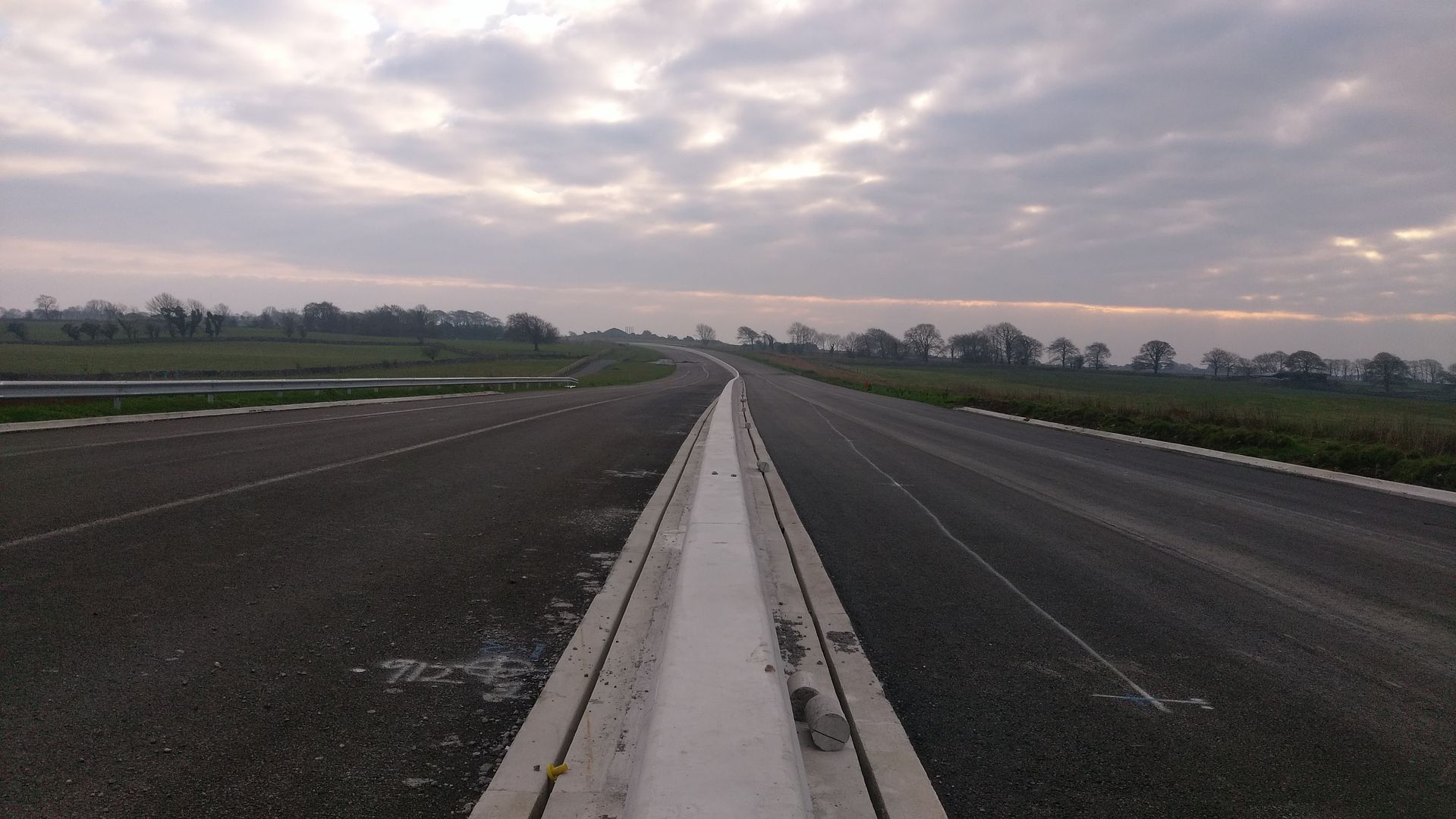
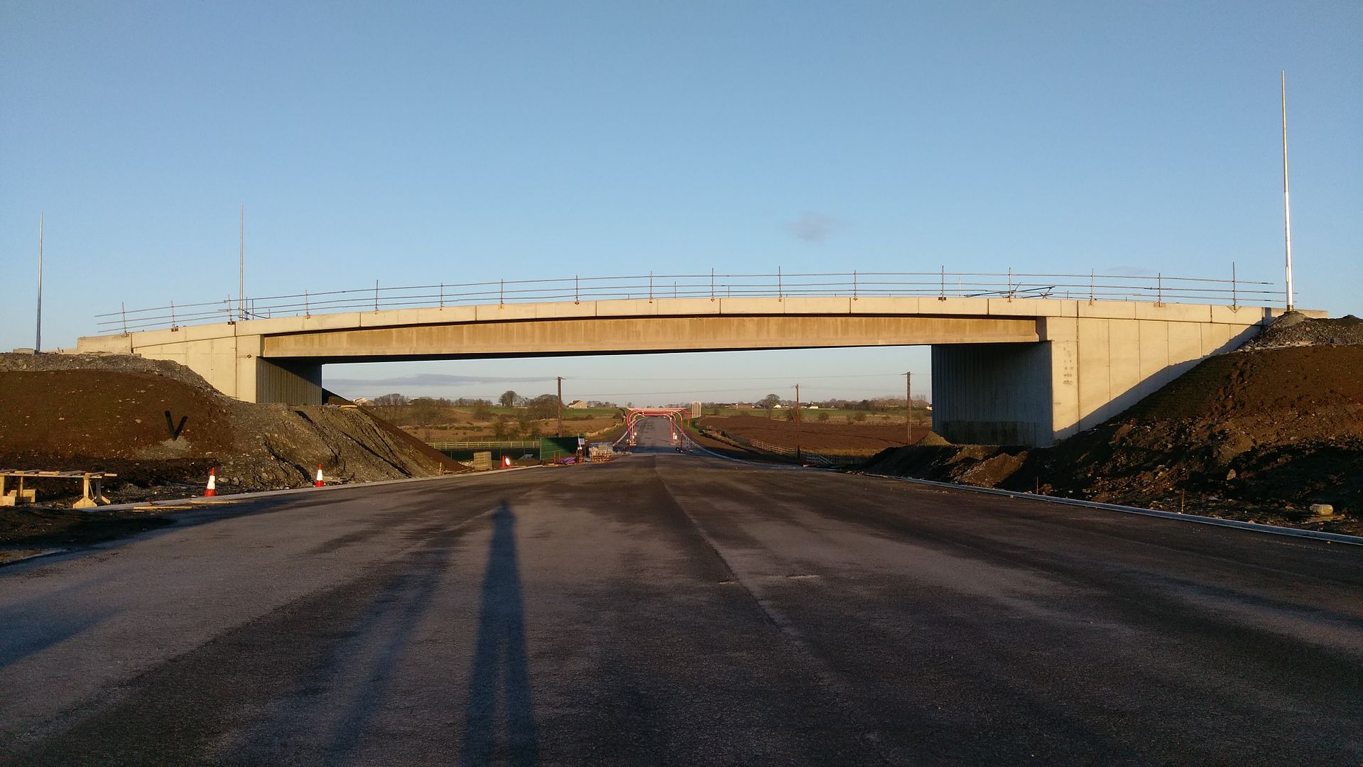
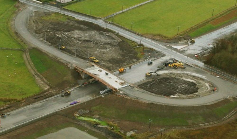
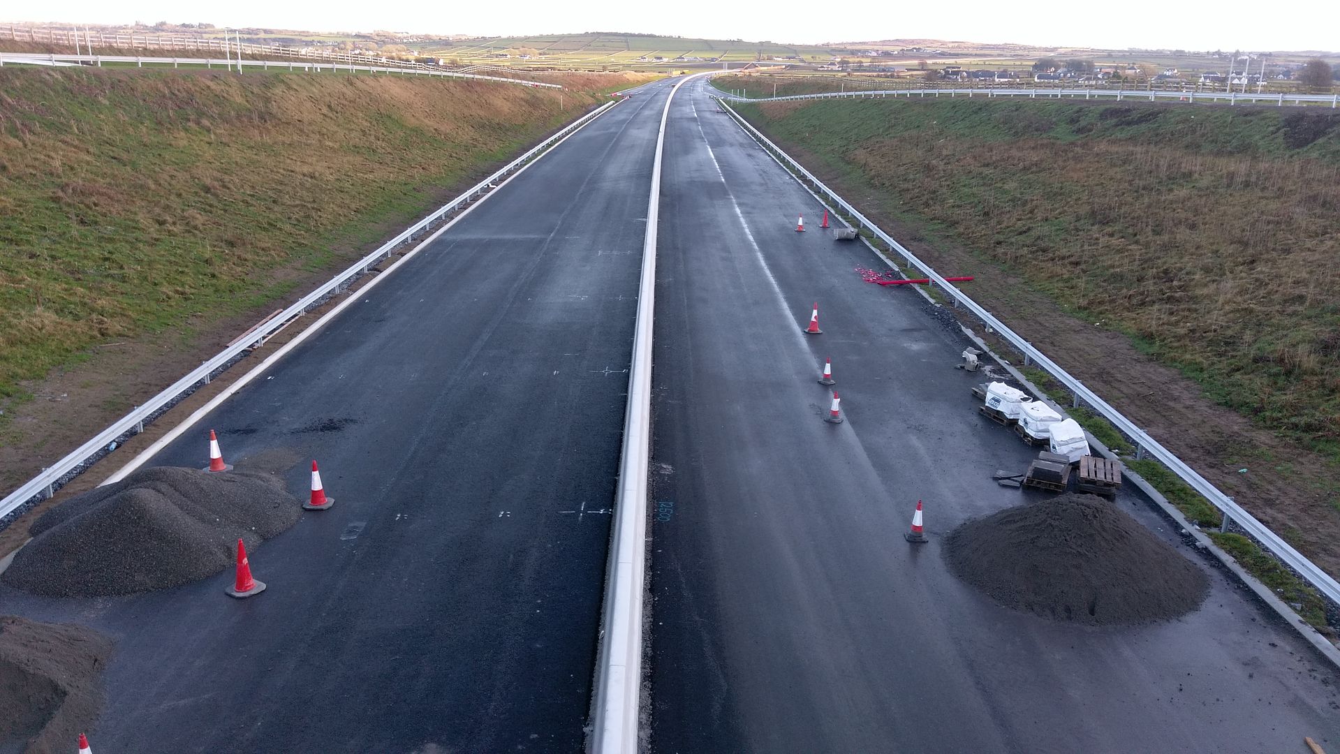
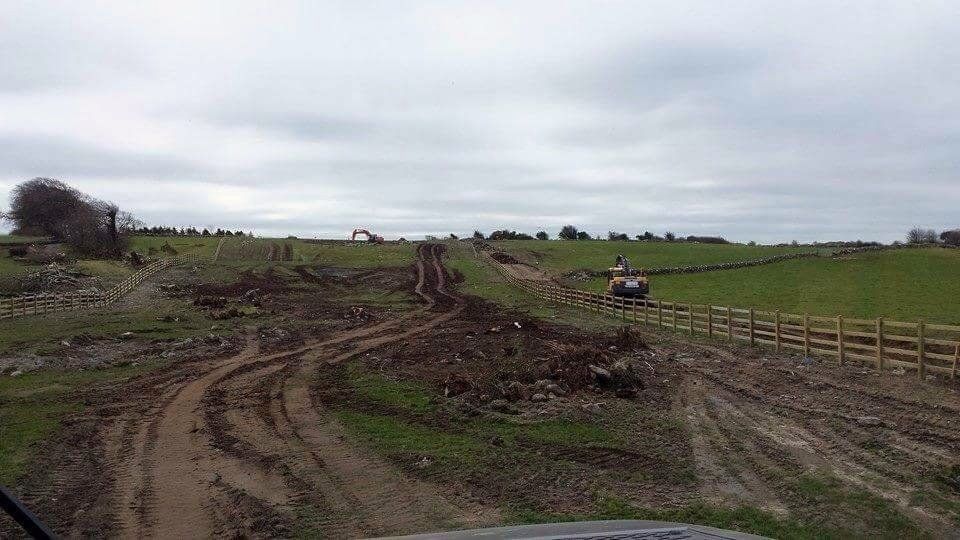
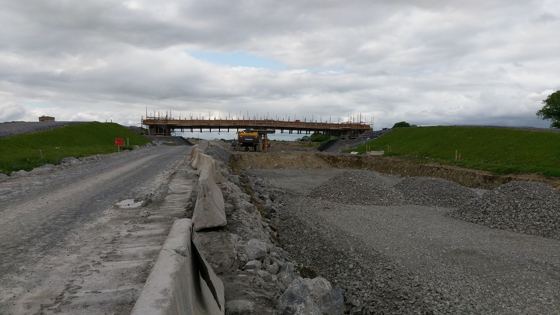
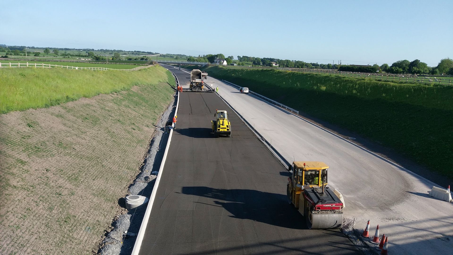
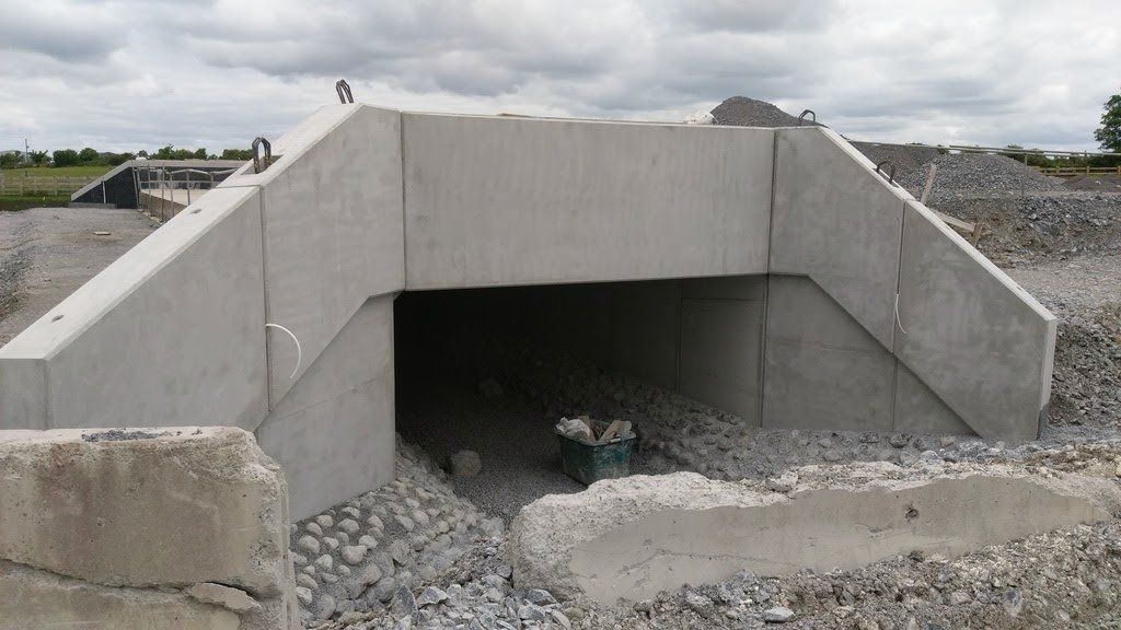
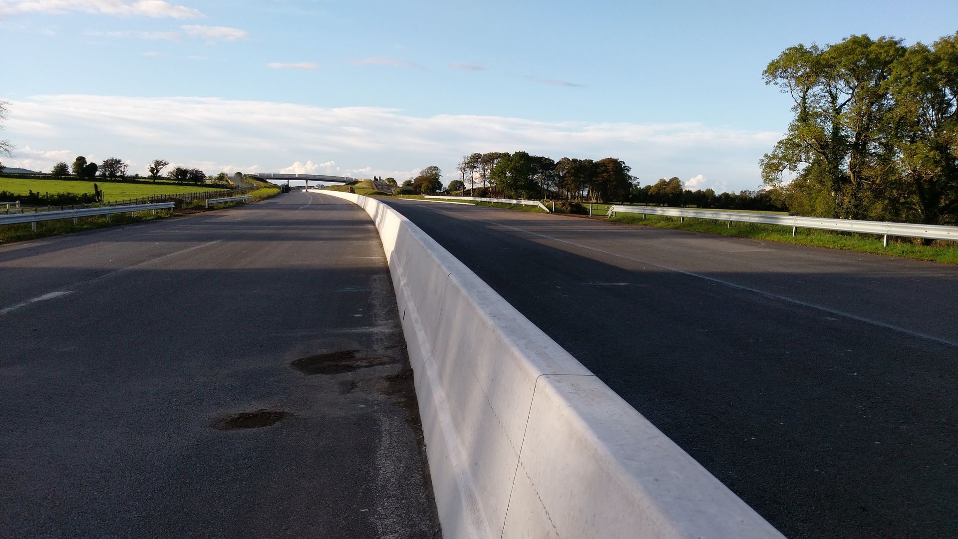
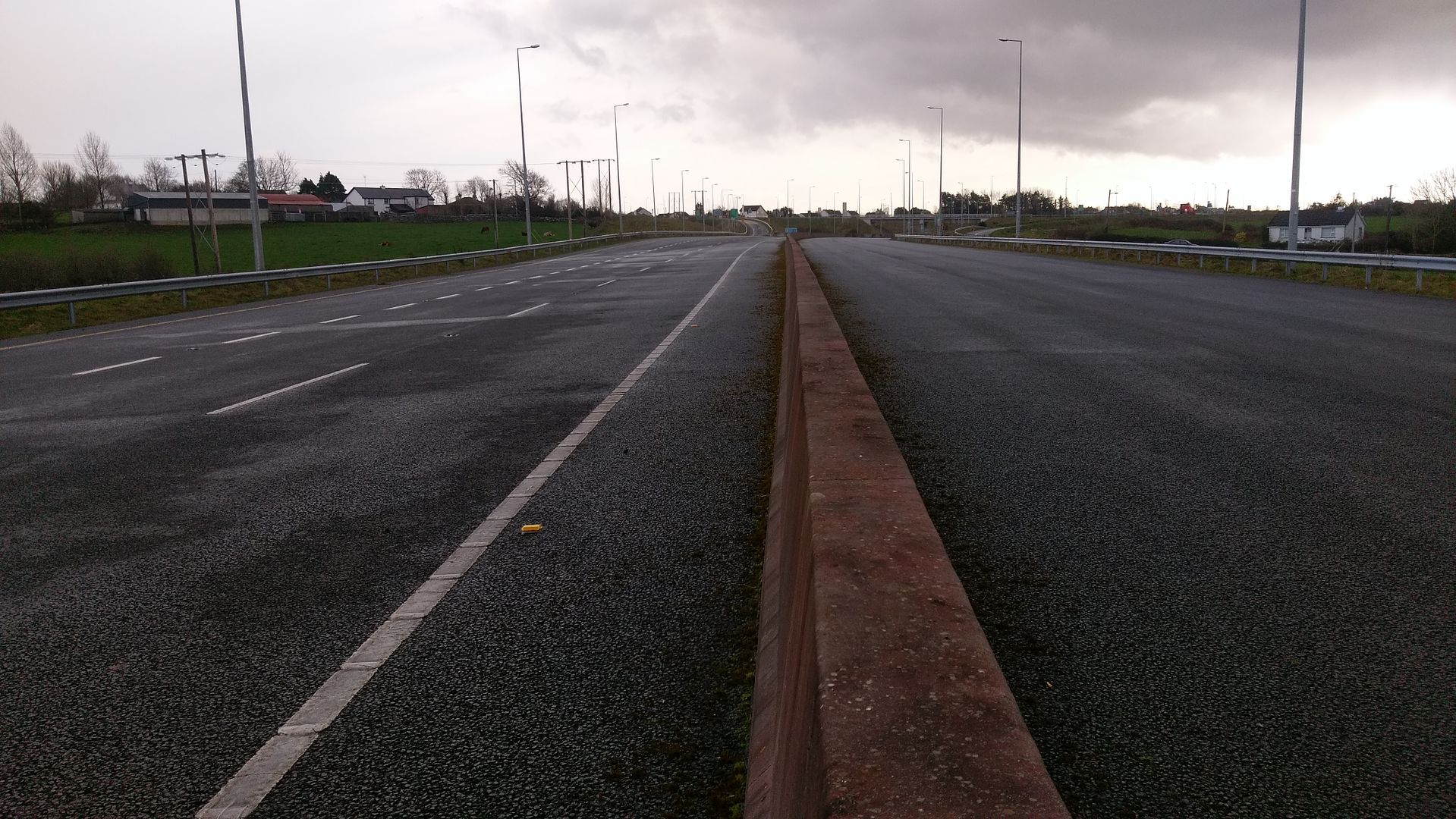
M17/M18 - Gort to Tuam [open to traffic]
Options
Comments
-
-
-
-
-
-
Advertisement
-
-
-
-
-
-
Advertisement
-
-
-
-
-
-
-
-
-
-
-
Advertisement
-
-
-
-
-
-
-
-
-
-
Advertisement
-


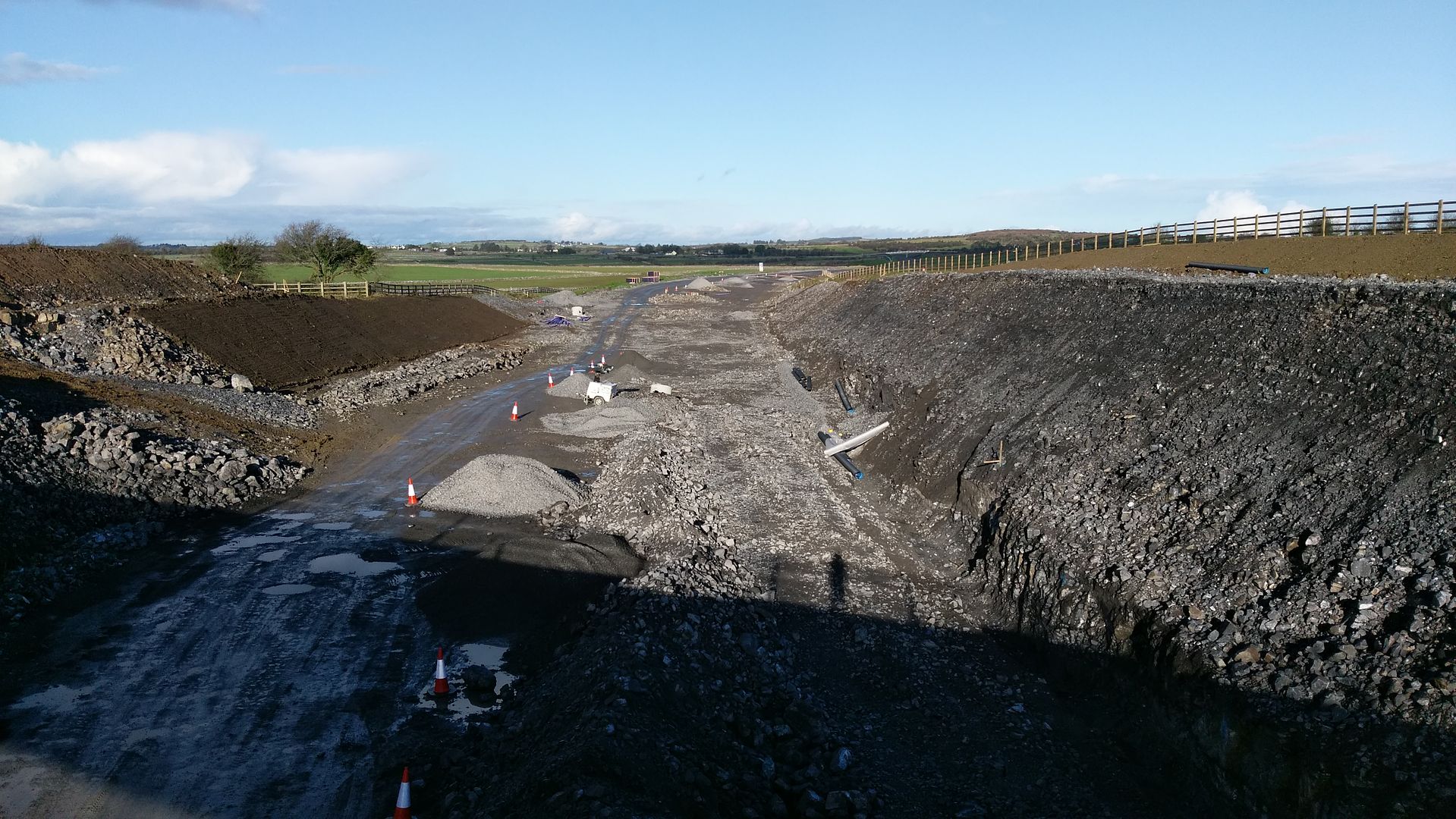
 start of the roadbridge section looking towards tuam 22/01/17
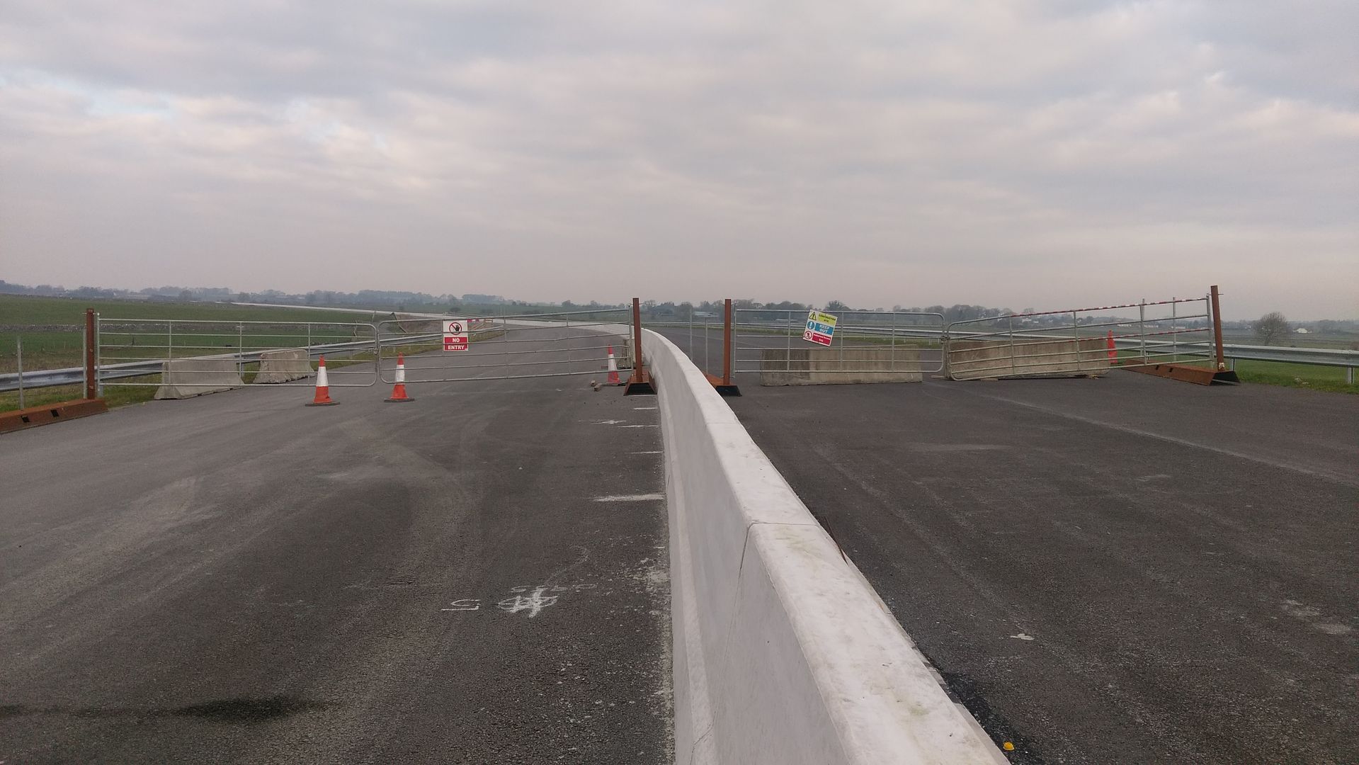


 2
2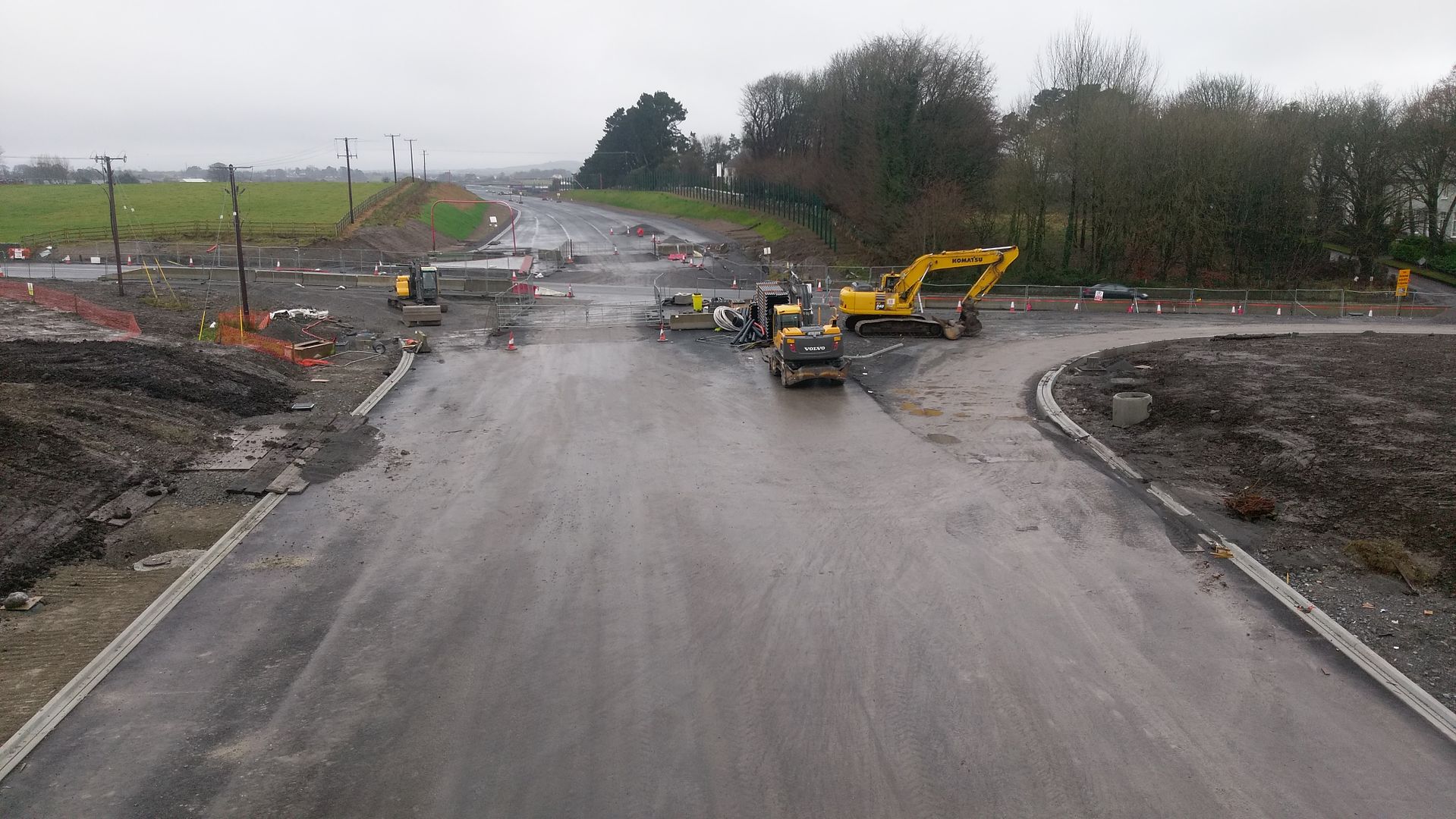
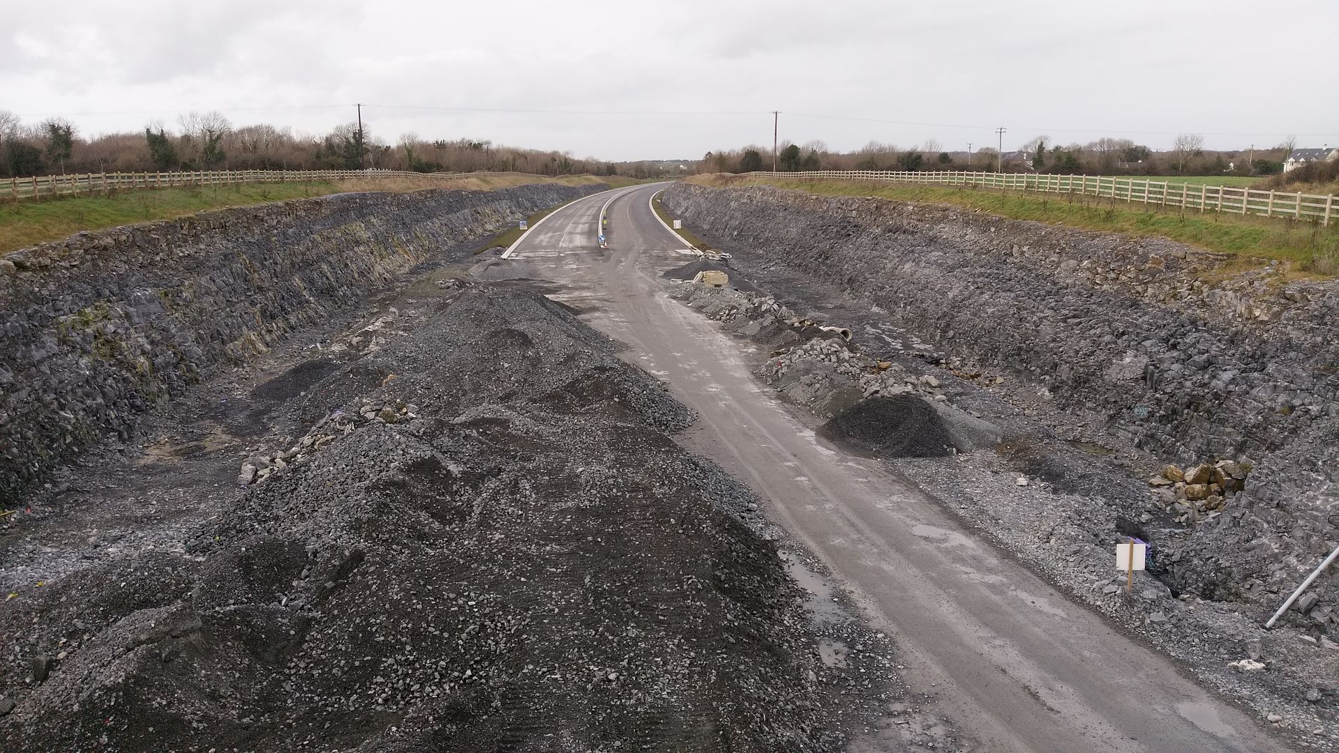
 annagh hill looking towards tuam
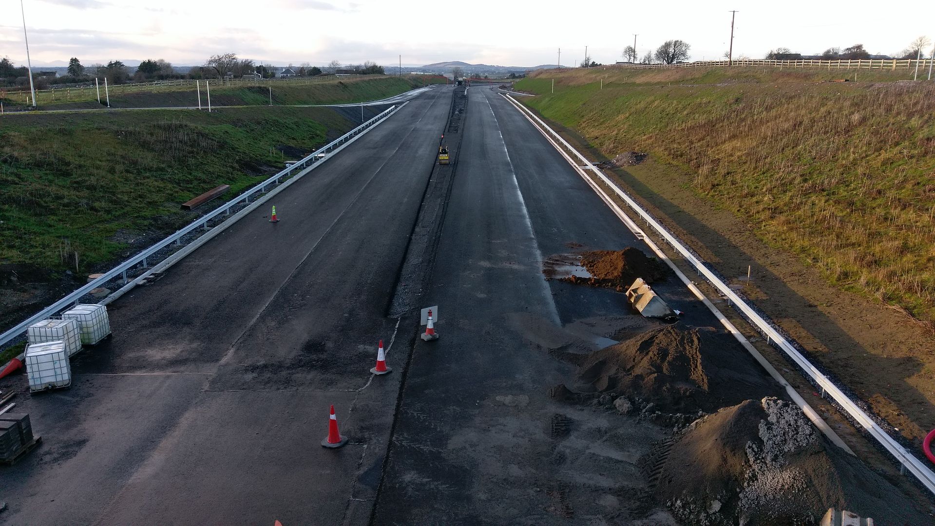 sign
sign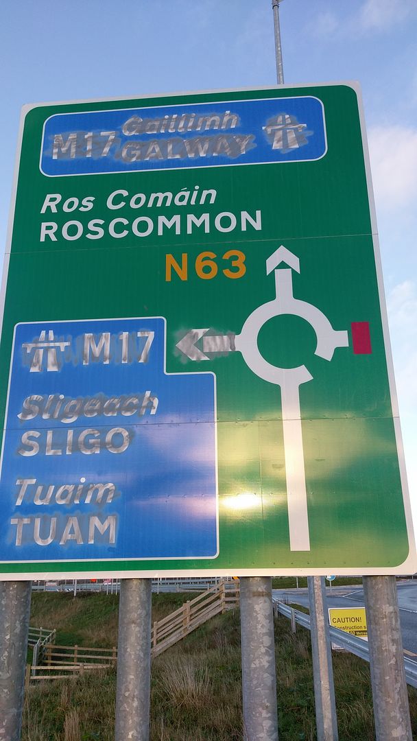
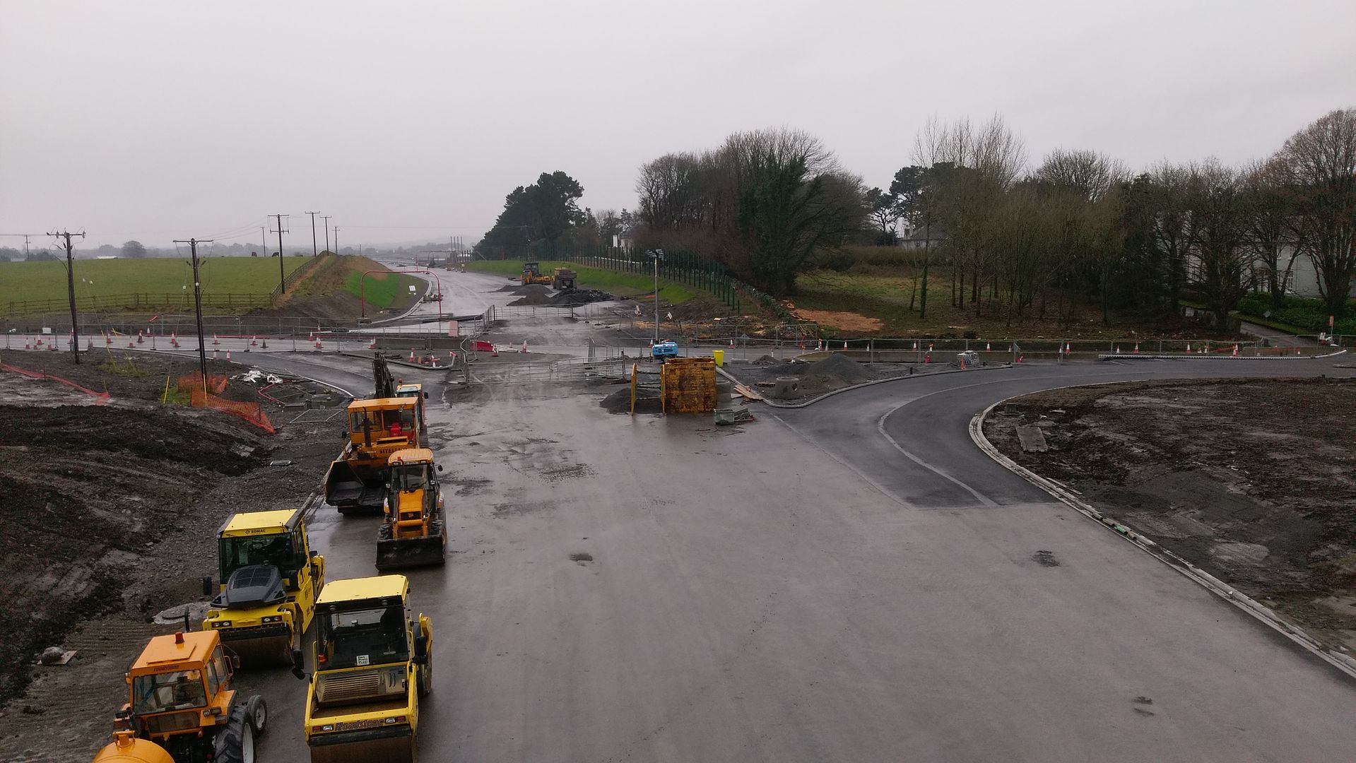
 Sheeaunpark looking towards rathmorissy
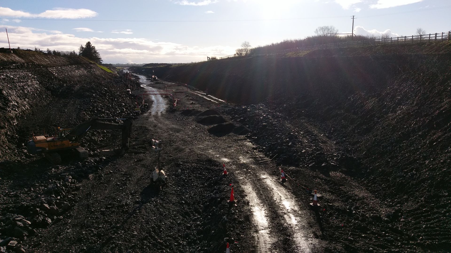 carthymore looking towards rathmorissy
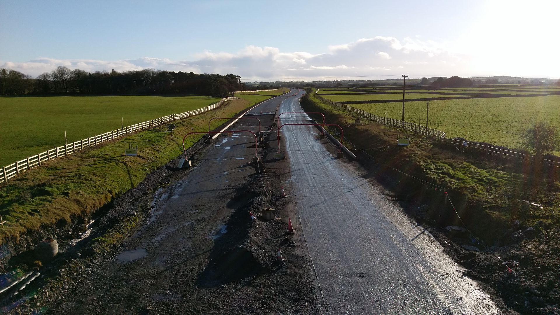 carthymore looking towards tuam
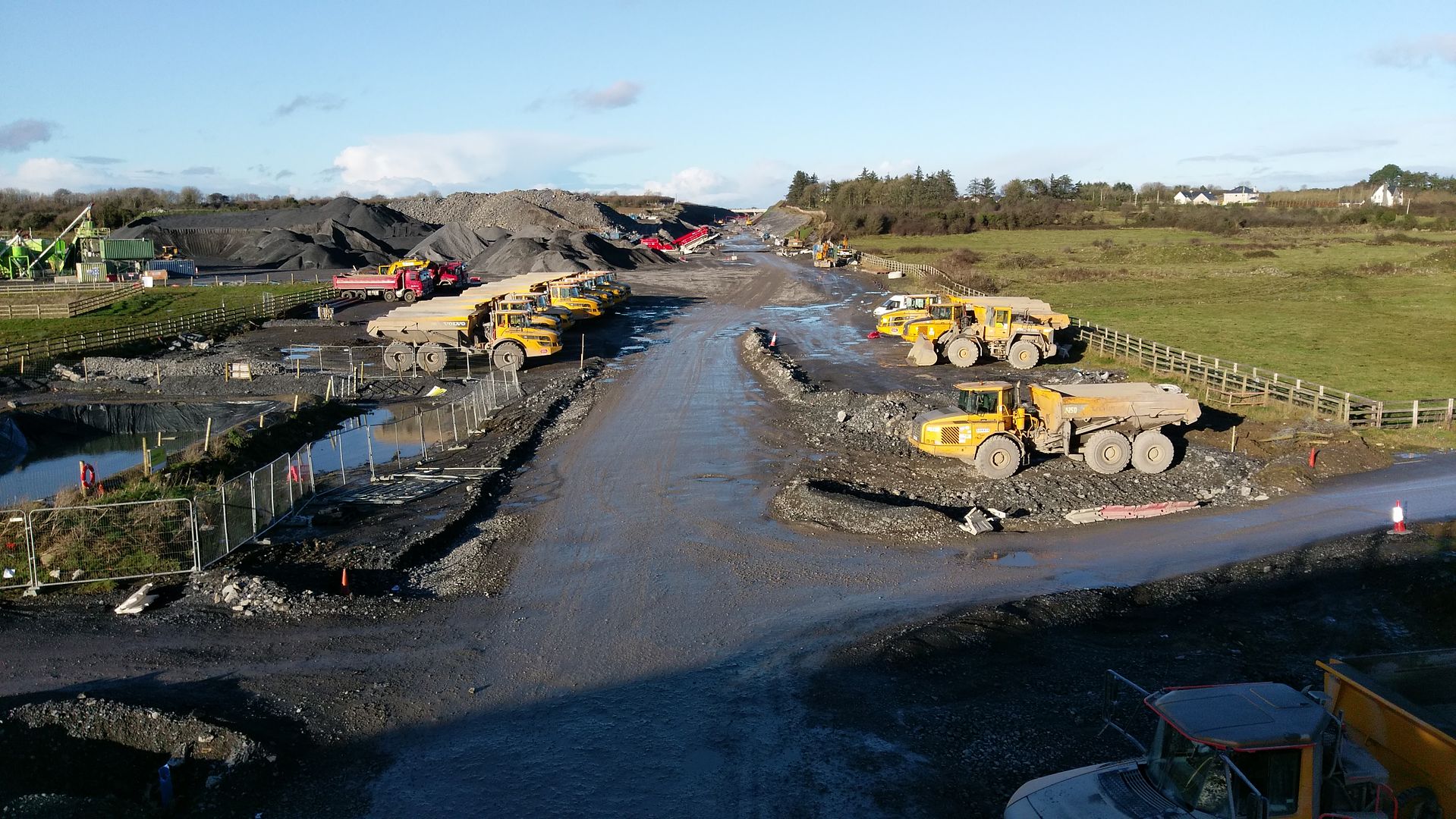


 30/01/17
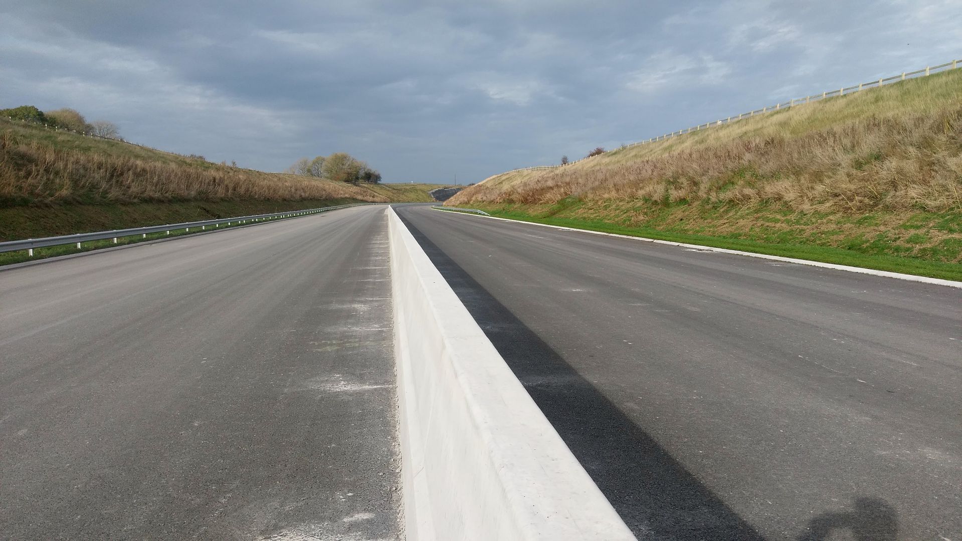
 31/01/17
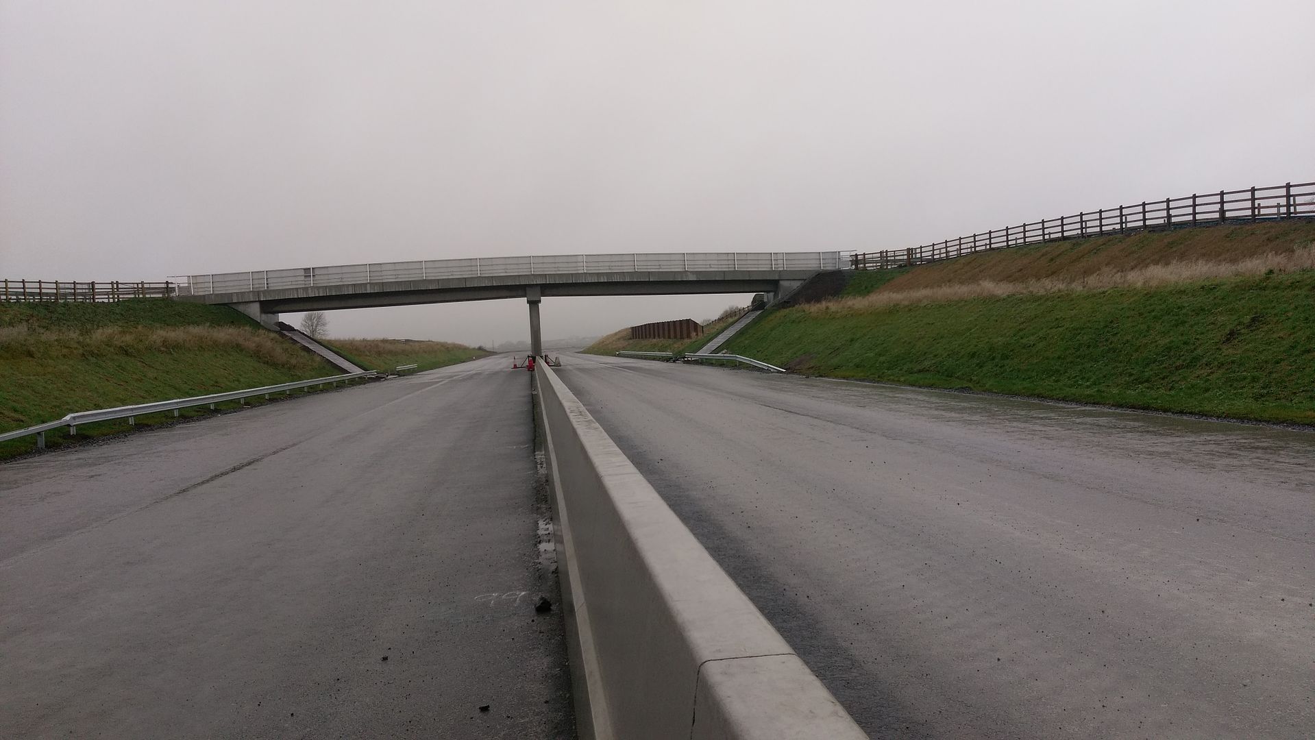
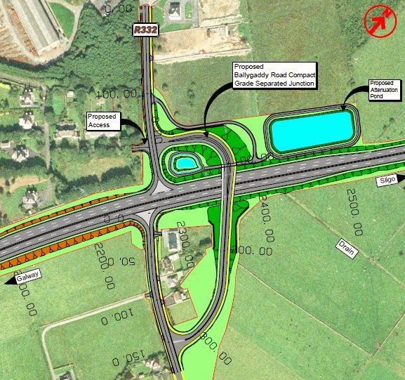
 ballygaddy road flyover looking towards kilcloghans flyover
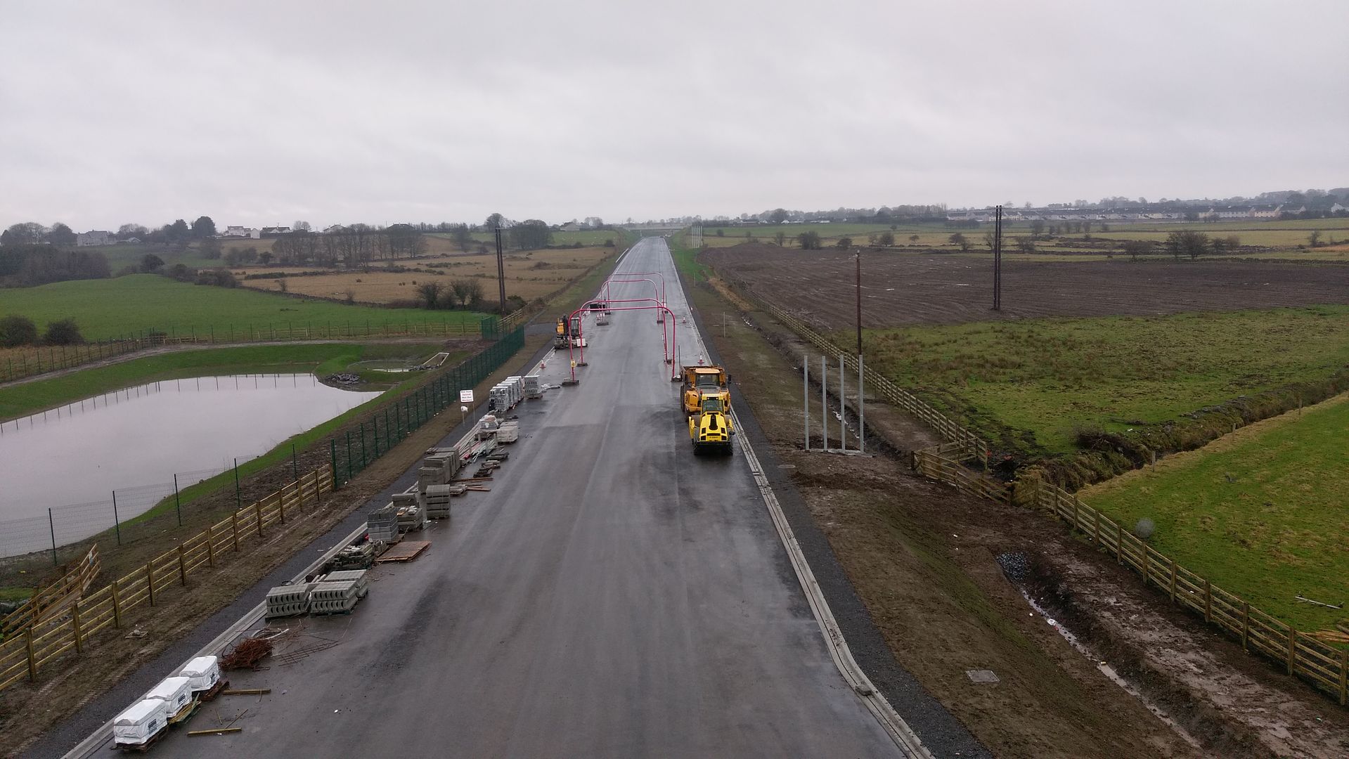 kilcloghans flyover looking towards ballygaddy road flyover
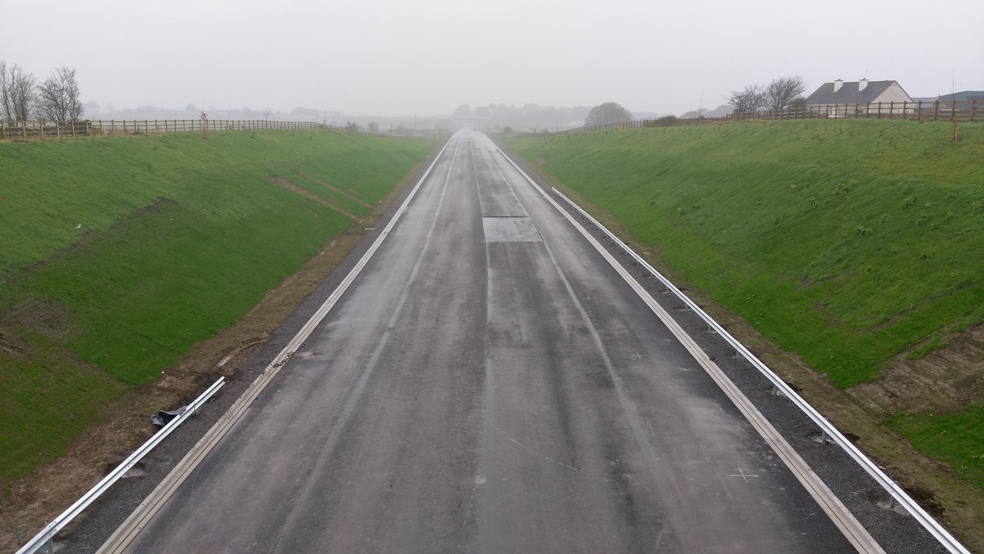 kilcloghans flyover looking towards the mountpiller roundabout
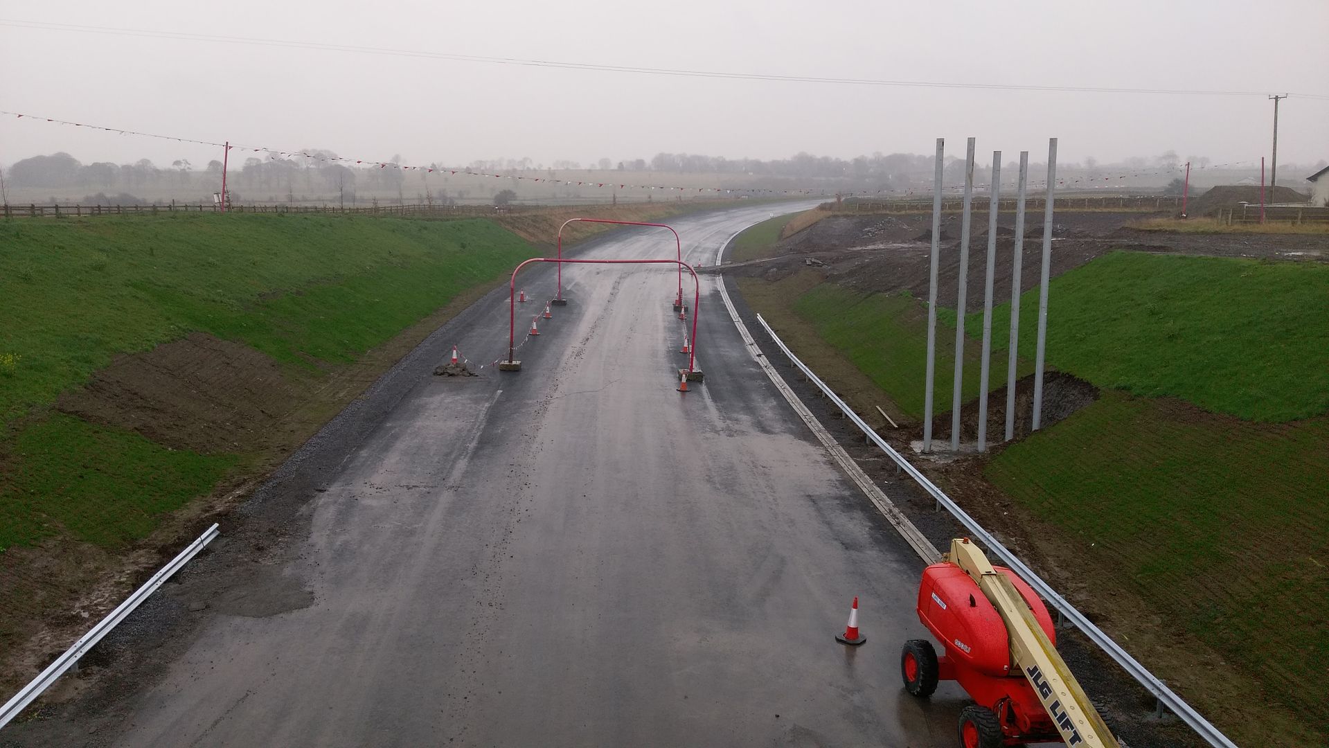

 parknacappa looking towards gort
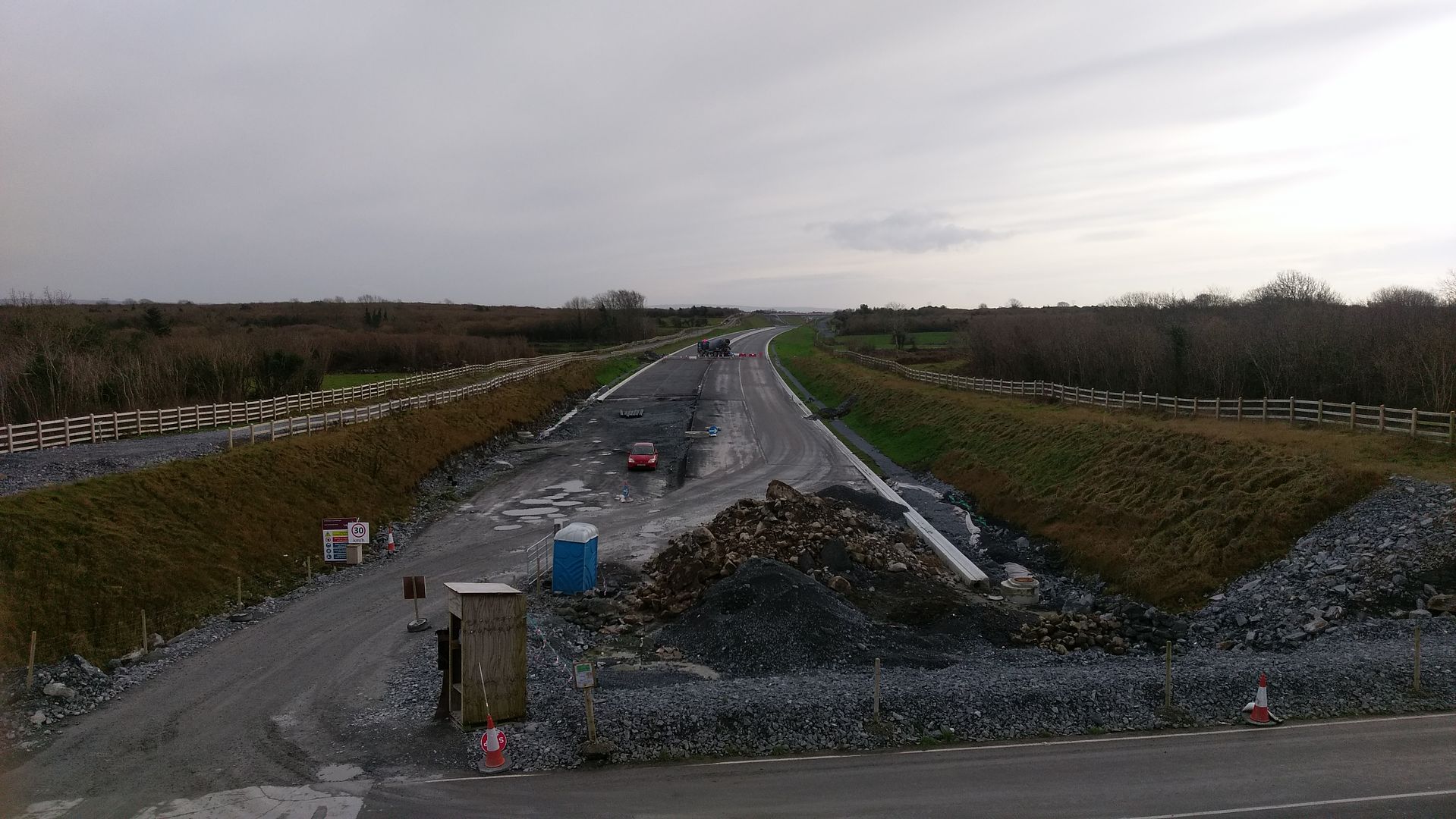 the flyover
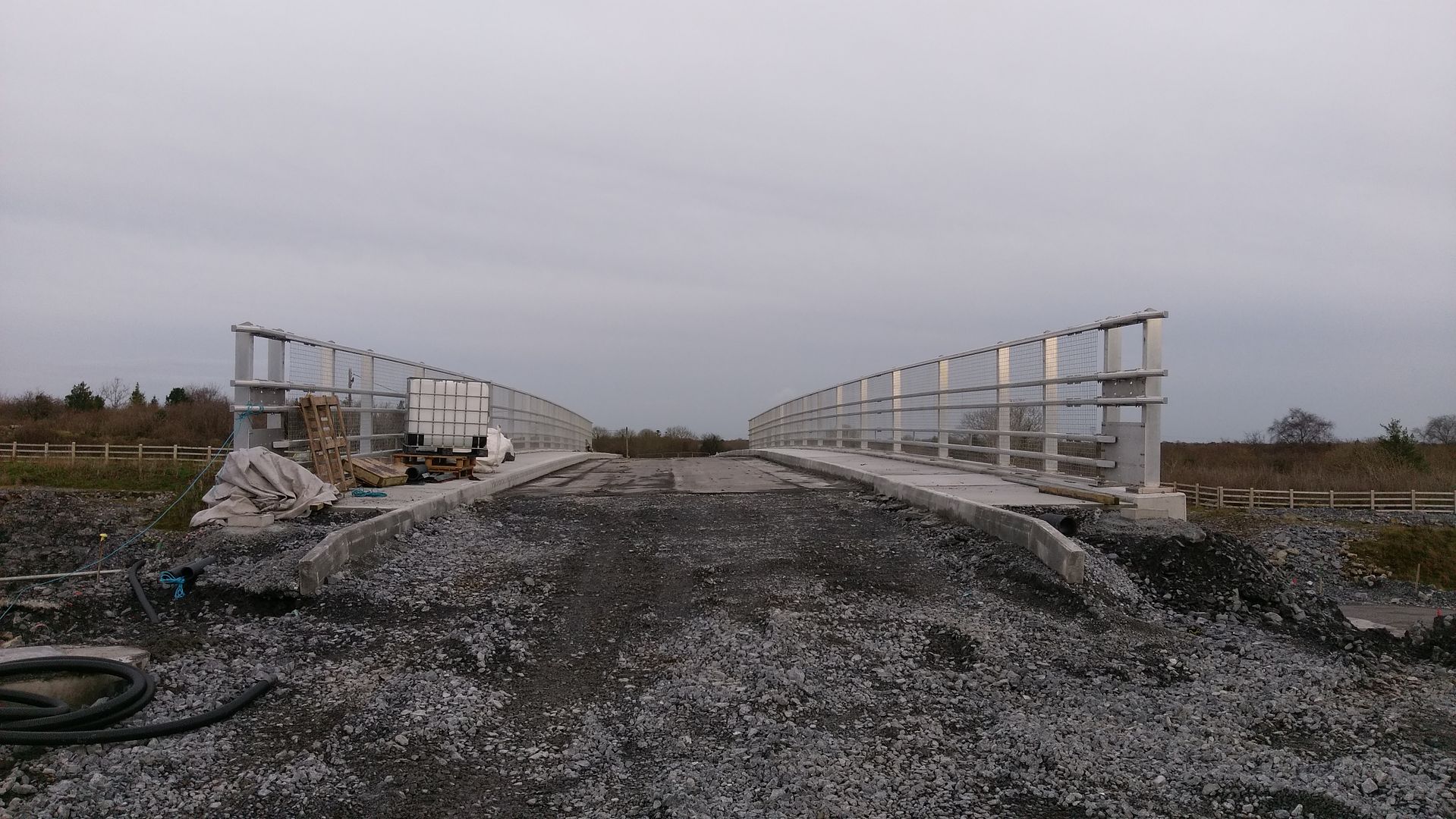 kiltiernan looking towards rathmorissy
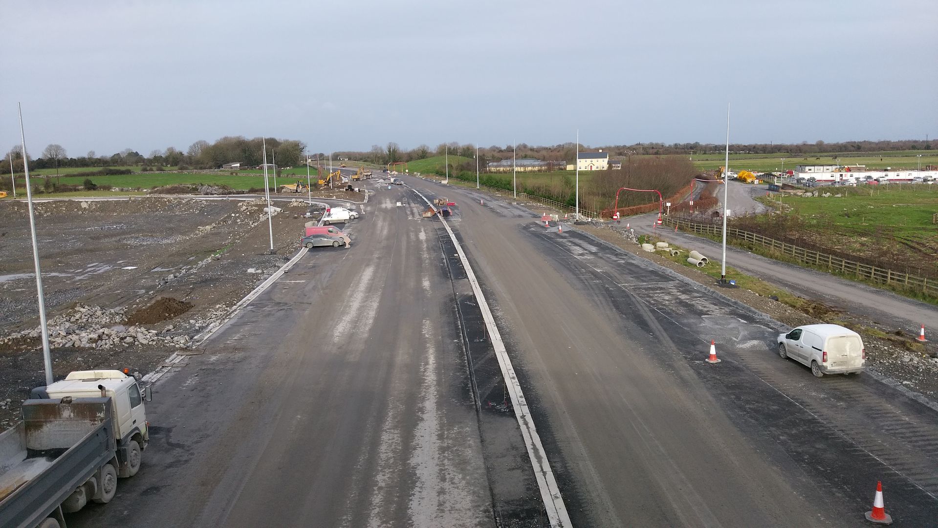 kiltiernan looking towards gort
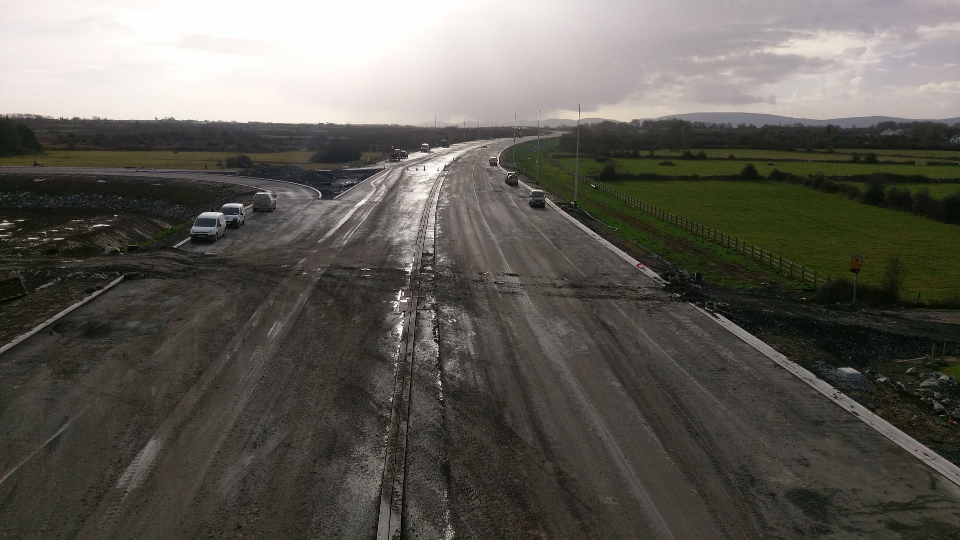

 gort looking towards rathmorissy
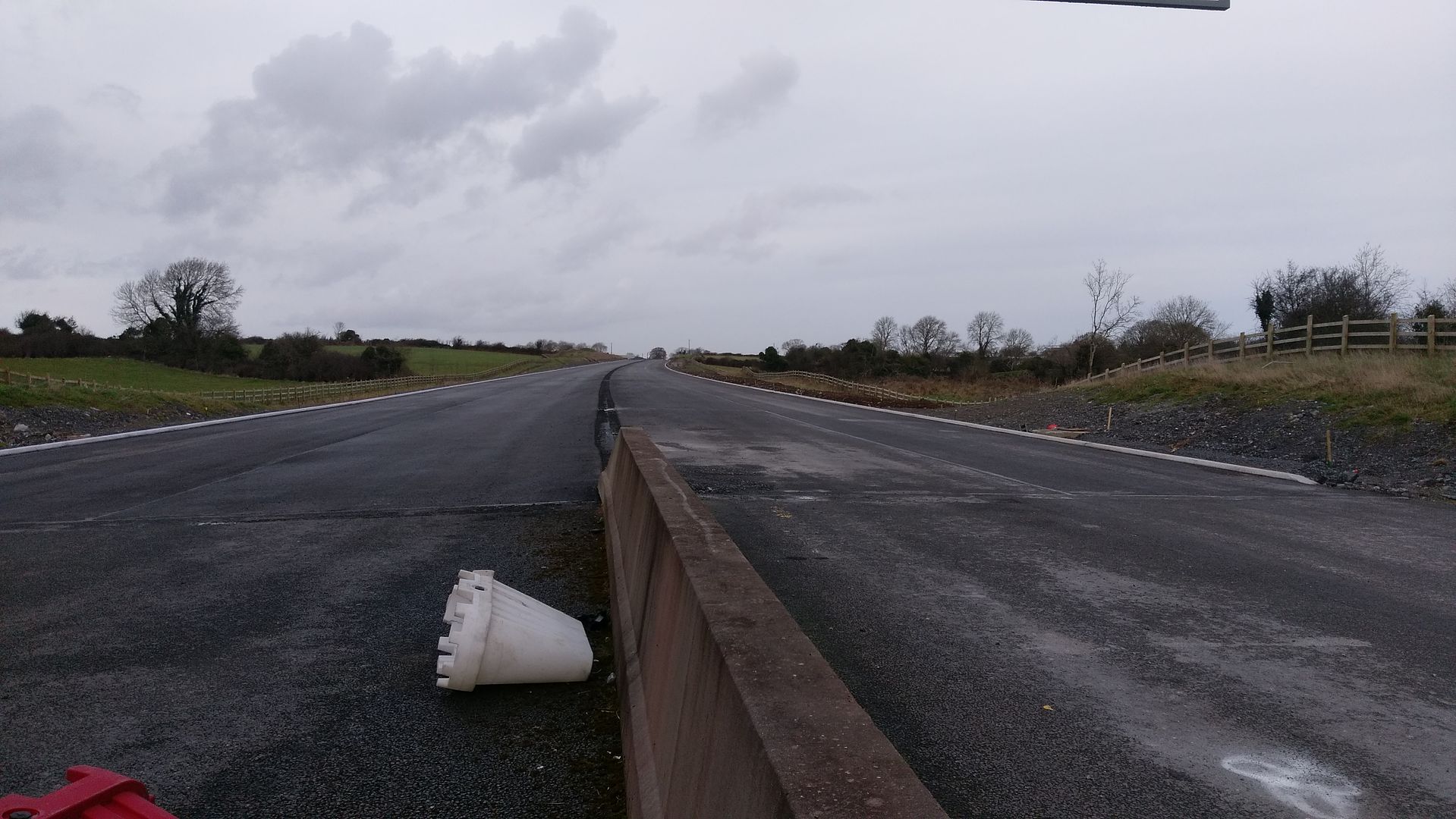
Advertisement