Advertisement
If you have a new account but are having problems posting or verifying your account, please email us on hello@boards.ie for help. Thanks :)
Hello all! Please ensure that you are posting a new thread or question in the appropriate forum. The Feedback forum is overwhelmed with questions that are having to be moved elsewhere. If you need help to verify your account contact hello@boards.ie

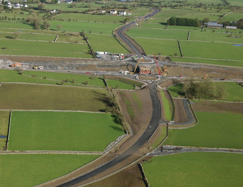
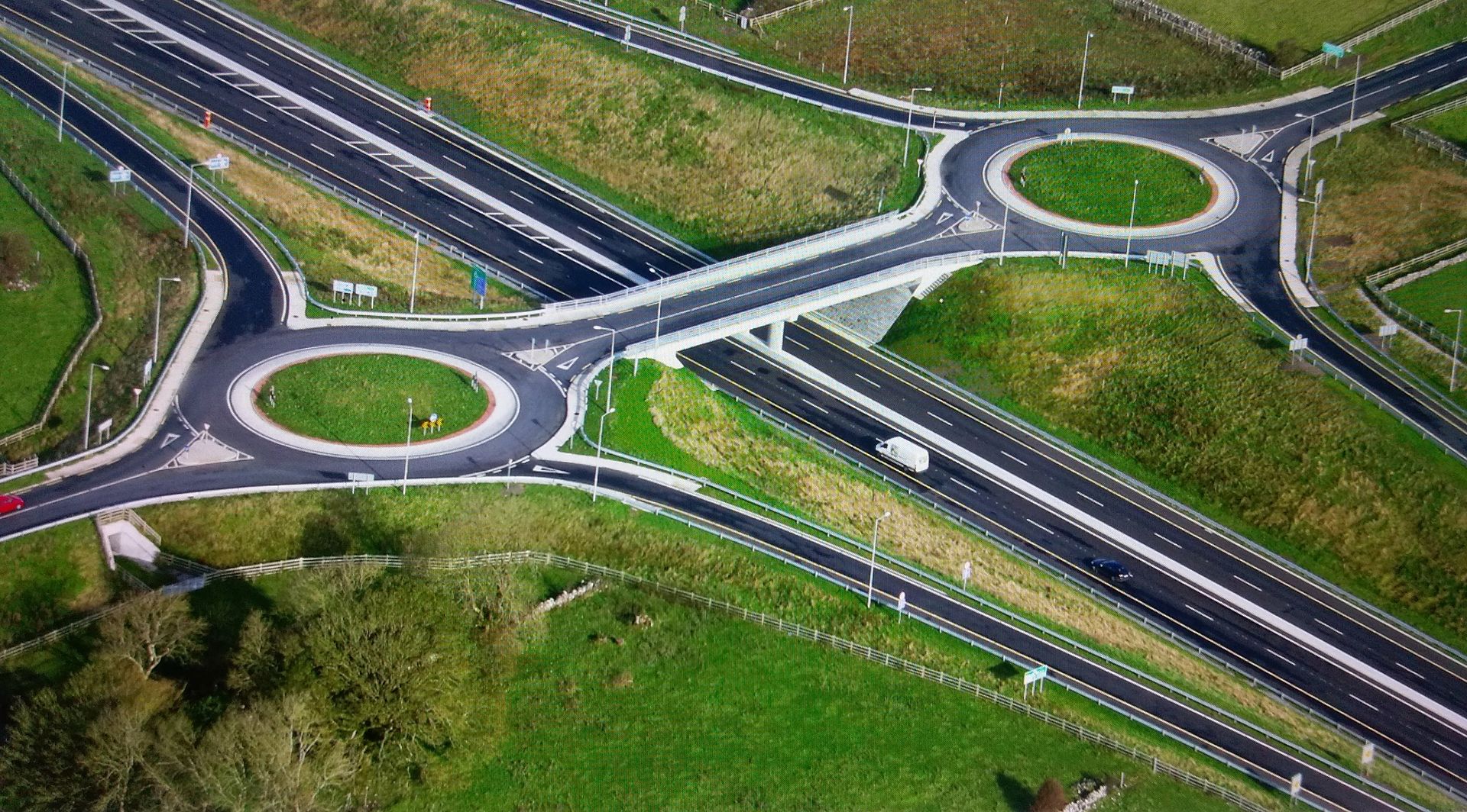
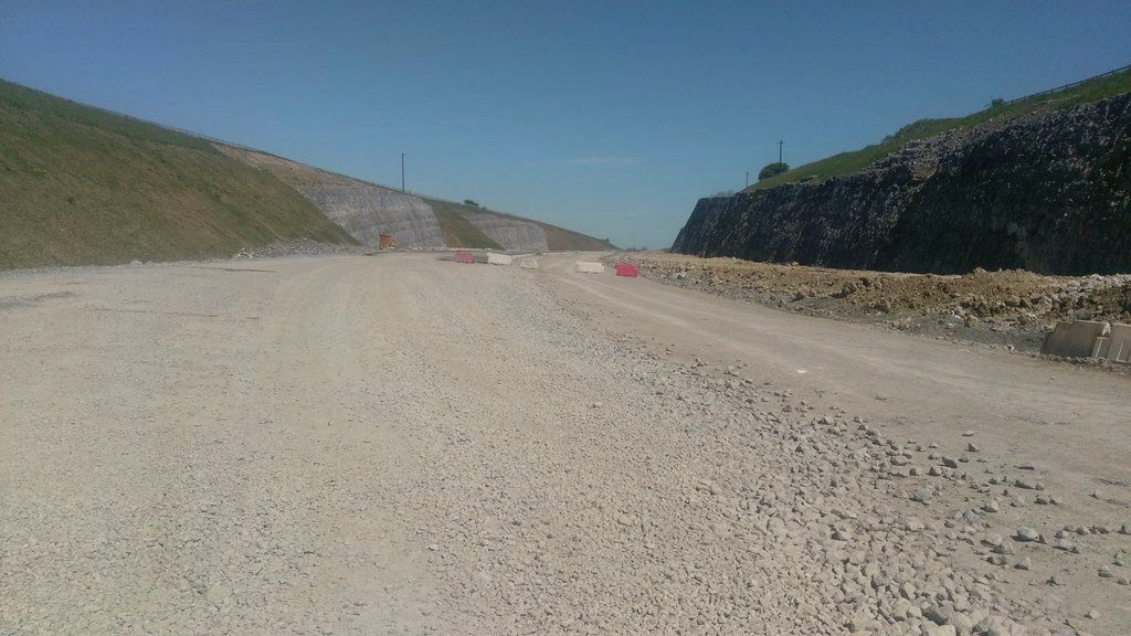
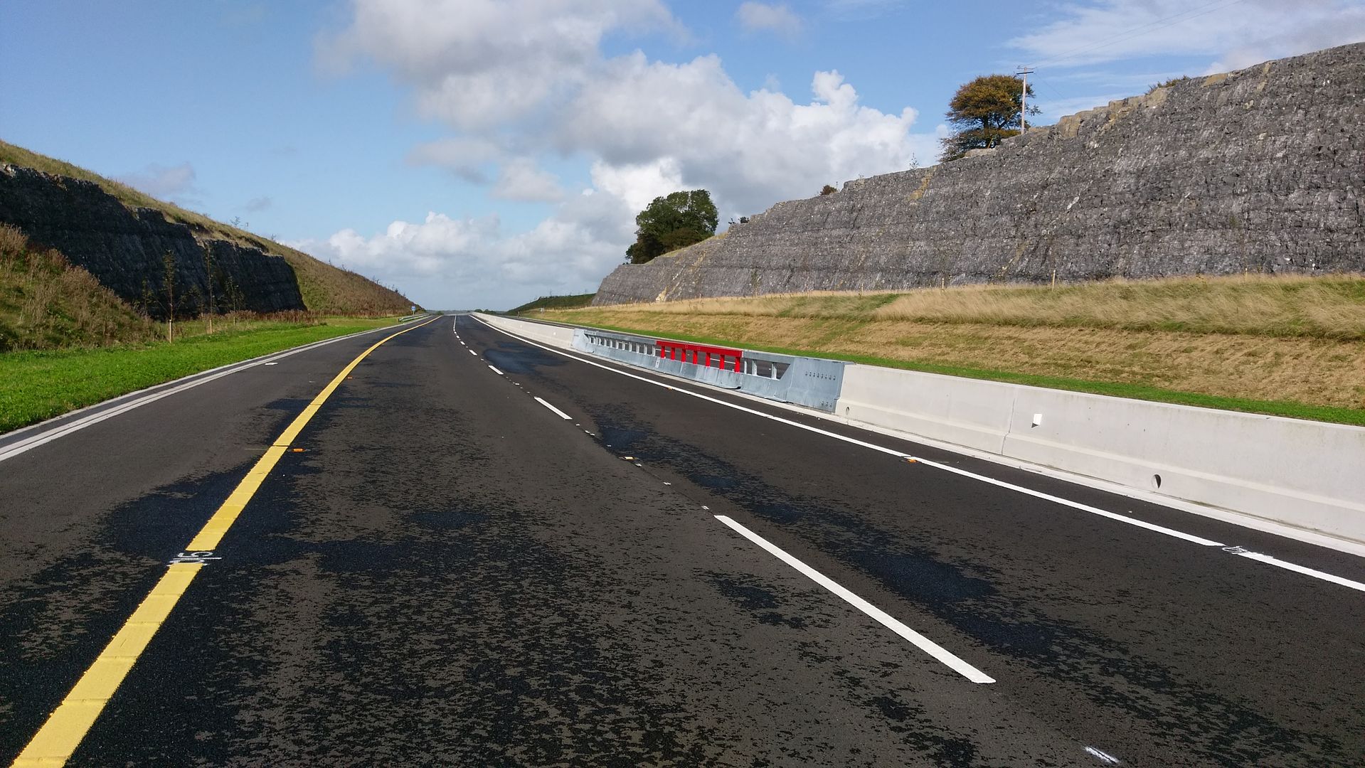
M17/M18 - Gort to Tuam [open to traffic]

Options
1299300302304305319

Comments

  • Registered Users Posts: 802 ✭✭✭MattressRick


    marno21 wrote: »
    No.

    If there is 24 hours of coverage missing in a full year (e.g. one day) then the coverage = 364/365 = 99.7%. The weird thing is that data is missing for the first 3 months of 2018 in that N18 counter, so the figures are wrong. There are still ~13k vehicles a day passing between Clarinbridge and Kilcolgan (N67). That to me seems that the M18 has failed to live up to its remit.

    Yesterday, Thursday 19th April, 19.6k vehicles passed through Claregalway. 11.2k vehicles used the M17 east of Claregalway. Whilst the M17 figure is up 1000 on the equivalent figure from October 2017, in my opinion we can conclude on this data so far that the M17 has failed to live upto its purpose of relieving the N17 and providing a bypass of Claregalway.

    Driving from Galway city to Limerick it takes the same time to use the m18 immediately from Galway city via athenry, as it does to drive out through clarinbridge and kilcolgan and jump on the motorway there. The problem is that in the mornings the roundabout near the Galway clinic in galway city to get onto the motorway is clogged with cars so it's more convenient for a lot to drive out through clarinbridge to get onto the motorway.
    For those coming into the city in the morning that roundabout is key again because there's a mile long tailback of cars waiting to get off the motorway so it can be handier to exit at kilcolgan, drive through clarinbridge and come into Galway that way.


  • Registered Users Posts: 13,122 ✭✭✭✭flazio


    Couldn't you just go out the old dual carriageway, turn left at the Maldron and join the motorway at junction 19?


  • Registered Users Posts: 13,122 ✭✭✭✭flazio


    m17 wrote: »
    You mean junction 17,junction 19 is annagh hill

    No, I mean 19 on the M6 . If having difficulties getting to the roundabout between the clinic and the Clayton, head out the old dual carriageway as far as the Maldron hotel, take the first exit towards Carnmore, join the M6 East bound to exit 18 join the M18.


  • Registered Users Posts: 450 ✭✭Bodan


    marno21 wrote: »
    It would have been better if the M17/M18 scheme was designed and built to solve the issues it was supposed to rather than what has happened. The route that was built has significantly less benefits that other potential routings which would have solved the Claregalway issue and saved us spending money on more roads down the line.

    They should have built a motorway from Gort that would merge with the M6 near Oranmore and a motorway from the Galway ring road to Tuam, with a 2+2 link road or motorway link road between the two such as below (I have included the Galway ring road too on a rough alignment)

    448711.png

    There is an issue somewhere if the M17/M18 scheme as built happened and it should not happen again.

    I think the reason they took the route they did was because of local topography, and not as direct a route based on population density.


  • Registered Users Posts: 4,321 ✭✭✭m17


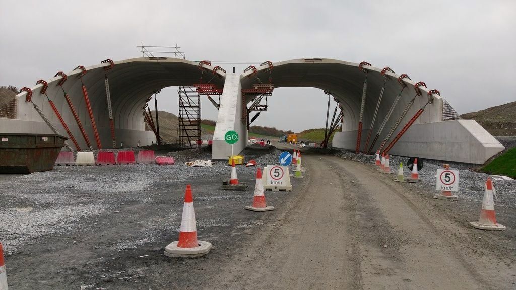
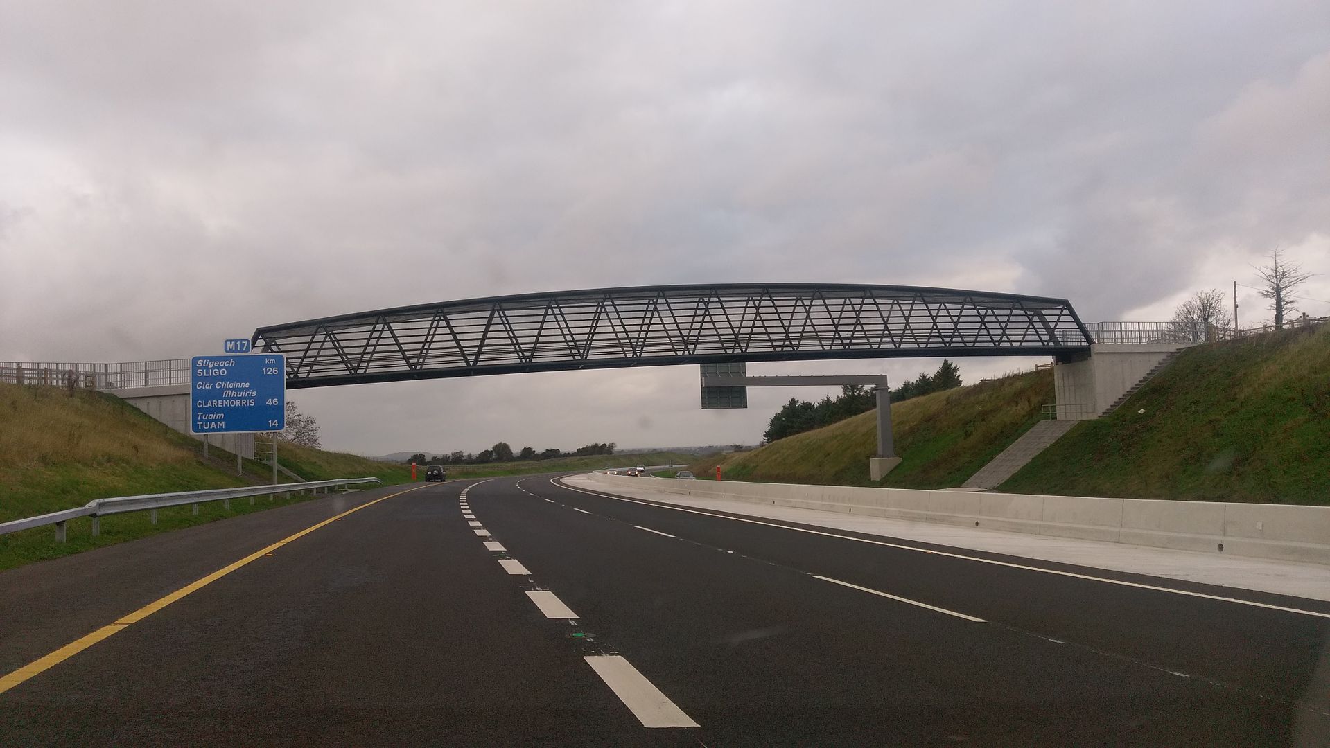
    The bat bridge 31/10/16IMAG6021_zps60n3jtjj.jpg
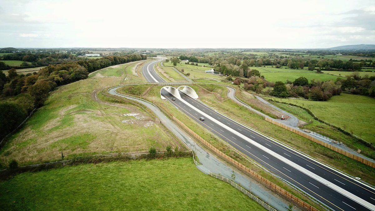
    22/04/18
    IMAG10262_zpso7km8ug1.jpg


  • Advertisement
  • Registered Users Posts: 4,321 ✭✭✭m17


    Ballygaddy road junction on the tuam bypass 28/04/18IMAG2558_zps3ds0ktpw.jpg


  • Registered Users Posts: 4,321 ✭✭✭m17


    The m18 at gortroa 02/05/18IMAG2522_zpsua5pcqcr.jpg


  • Registered Users Posts: 4,321 ✭✭✭m17


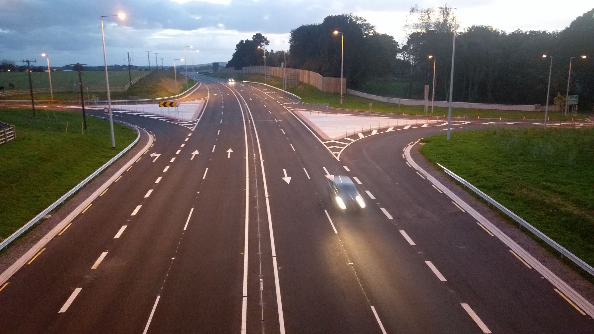
    Annagh hill 26/11/15IMAG12233_zpsykyu4417.jpg
    24/04/18IMAG10045_zpsdvx3yqqj.jpg


  • Registered Users Posts: 49 mikeingalway


    The new Mast a Rinn is a Godsend! I see another new one just after popping up (well the structure) around the Raheen Area near Gort. My Vodafone Coverage is quite good there, no 4G but perfect 3G, it may benefit other network users that are struggling with coverage in the area.


  • Registered Users Posts: 4,321 ✭✭✭m17


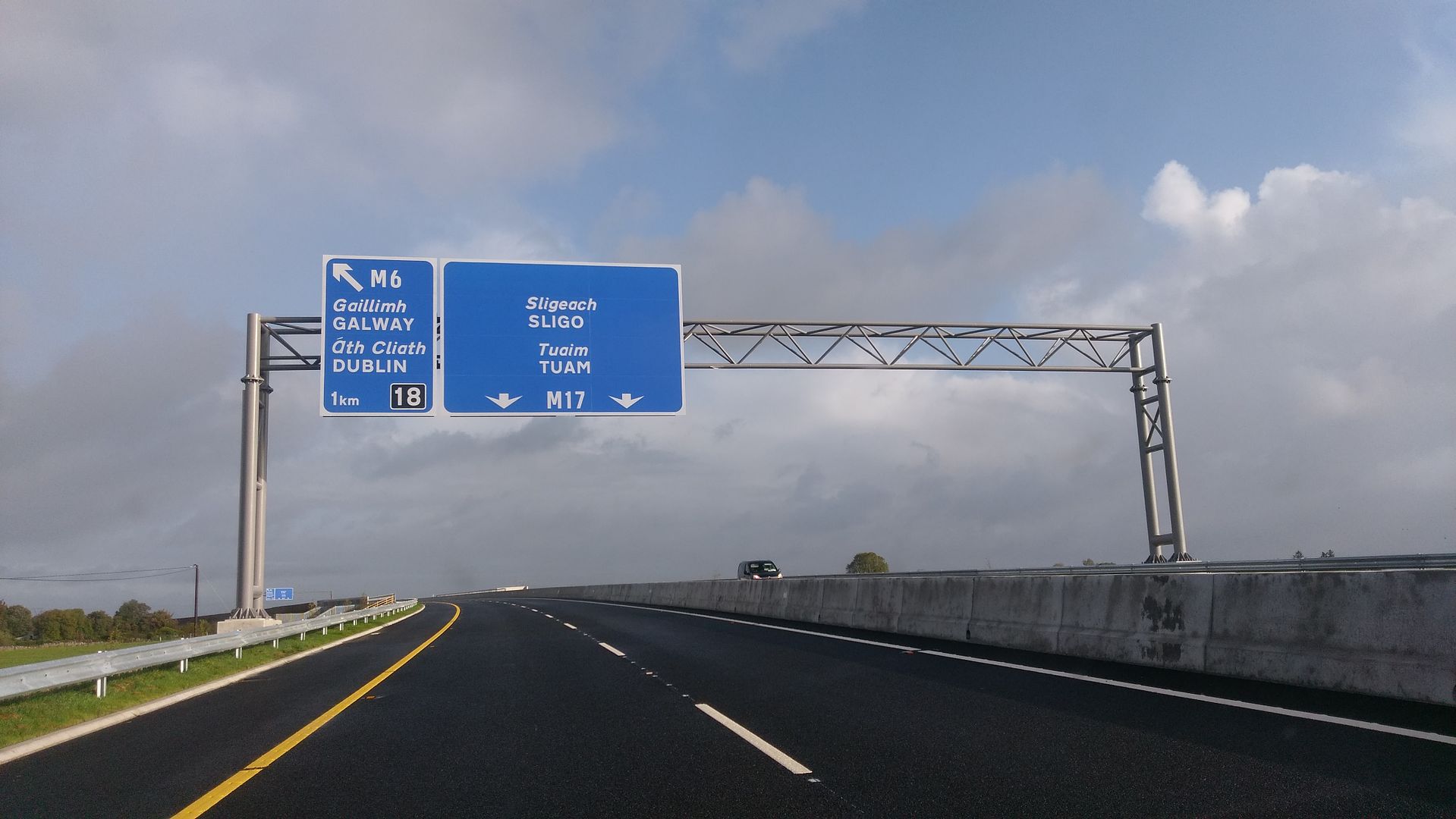
    The m17 at bauilpuil 4/5/162017-09-26_06-40-49_zpsjnpwm1s7.jpg4/5/18IMAG2454_zpsjlzlztyl.jpg


  • Advertisement
  • Registered Users Posts: 2,053 ✭✭✭WallyGUFC


    Looked like a powerful day this day two years ago!


  • Registered Users Posts: 4,321 ✭✭✭m17


    The new Mast a Rinn is a Godsend! I see another new one just after popping up (well the structure) around the Raheen Area near Gort. My Vodafone Coverage is quite good there, no 4G but perfect 3G, it may benefit other network users that are struggling with coverage in the area.

    The m18 at raheen with the new phone mast on the left hand side 04/05/18
    IMAG3259_zpsaeynuk7a.jpg
    All that's left is the mast at Annagh hill and then there will be 100% coverage on the m17/m18


  • Moderators, Entertainment Moderators, Science, Health & Environment Moderators Posts: 14,408 Mod ✭✭✭✭marno21


    m17 wrote: »
    The m18 at raheen with the new phone mast on the left hand side 04/05/18
    IMAG3259_zpsaeynuk7a.jpg
    All that's left is the mast at Annagh hill and then there will be 100% coverage on the m17/m18

    You are like an encyclopedia on the M17/M18, the knowledge you have of the scheme is something else.


  • Registered Users Posts: 1,627 ✭✭✭mrsoundie


    Went to Renmore through Kilcolgan today from Shannon and came back through M6 onto M18. Really enjoyed the drive on it, but the road after the Bat Bridge frightened me a bit, reminded me of driving through a multi-storey car park with wet tyres.

    It's great not to be stuck behind some slow coach and there are a few still on the motorway. All though I did see two tractors on the motorway this evening, one around the Tulla exit heading North and the other around the Shannon Airport exit heading South.


  • Posts: 0 [Deleted User]


    mrsoundie wrote: »
    Went to Renmore through Kilcolgan today from Shannon and came back through M6 onto M18. Really enjoyed the drive on it, but the road after the Bat Bridge frightened me a bit, reminded me of driving through a multi-storey car park with wet tyres.

    It's great not to be stuck behind some slow coach and there are a few still on the motorway. All though I did see two tractors on the motorway this evening, one around the Tulla exit heading North and the other around the Shannon Airport exit heading South.

    So long as the tractors can do 50kph or greater, they are allowed. If not, the Gardaí should be informed as they represent a danger


  • Moderators, Entertainment Moderators, Science, Health & Environment Moderators Posts: 14,408 Mod ✭✭✭✭marno21


    So long as the tractors can do 50kph or greater, they are allowed. If not, the Gardaí should be informed as they represent a danger
    May as well leave them there it's not like the motorway is busy or anything.


  • Registered Users Posts: 49 mikeingalway


    m17 wrote: »
    The m18 at raheen with the new phone mast on the left hand side 04/05/18
    IMAG3259_zpsaeynuk7a.jpg
    All that's left is the mast at Annagh hill and then there will be 100% coverage on the m17/m18

    Yes, I wonder when will that one in Annagh go live? I’m aware of the objections. Coverage in the area is dreadful.


  • Registered Users Posts: 4,321 ✭✭✭m17


    The m17 rathmorrissy to tuam 04/05/18


  • Registered Users Posts: 4,321 ✭✭✭m17


    The m18 at ballyquiff 07/05/18IMAG3260_zpswlzq1wjj.jpg


  • Registered Users Posts: 610 ✭✭✭Neworder79


    First drive on the M18 heading Galway to Sligo recently. I was really impressed. Quality of the smooth surface, junctions, kerbing, drainage stood out. Very nice stretch of motorway to drive on and felt like calmer, shorter journey using it.


  • Advertisement
  • Registered Users Posts: 4,321 ✭✭✭m17


    The m18 at raheen/kiltartanIMAG12245_zpscalbp453.jpg


  • Registered Users Posts: 7,227 ✭✭✭plodder


    I only noticed this the other day when passing by on the way home.

    https://www.google.ie/maps/place/Tuam,+Co.+Galway,+Ireland/@53.4062506,-8.8254077,409m/data=!3m1!1e3!4m5!3m4!1s0x485bf6b50b10ed1b:0xa00c7a997322720!8m2!3d53.5141156!4d-8.8565177

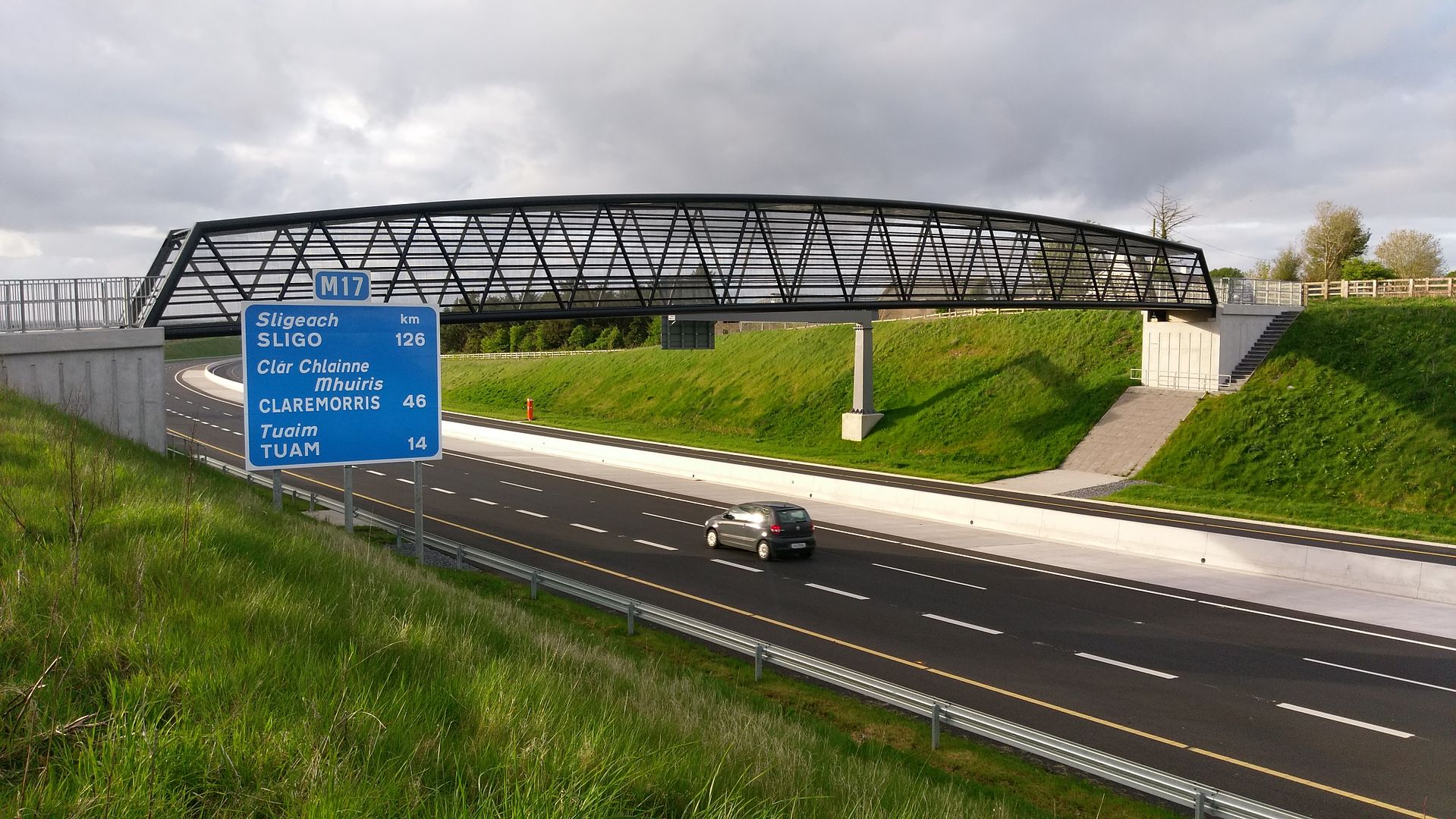
    It's a pedestrian-only bridge linking what would have been originally two sides of a proper road. So, there is no through access for vehicles. Vehicular access is provided by the new road associated with the junction. Traffic on the old road should be vastly reduced, though google maps still thinks it's a thru-route.. I think it's a nice idea, and would be happy about it if I lived there. Any photos of it, per chance?


  • Registered Users Posts: 1,015 ✭✭✭Kevwoody


    plodder wrote:
    It's a pedestrian-only bridge linking what would have been originally two sides of a proper road. So, there is no through access for vehicles. Vehicular access is provided by the new road associated with the junction. Traffic on the old road should be vastly reduced, though google maps still thinks it's a thru-route.. I think it's a nice idea, and would be happy about it if I lived there. Any photos of it, per chance?


    You must be new here.

    A lad on a bike will be along momentarily with said photos!!


  • Registered Users Posts: 7,227 ✭✭✭plodder


    Kevwoody wrote: »
    A lad on a bike will be along momentarily with said photos!!
    That's why I asked. I'll be surprised if m17 doesn't oblige. :pac:

    I also reported the error in google maps. I presume there is signage at the place to signal the closure, but you never know.

    Slow day here ... :)


  • Registered Users Posts: 7,227 ✭✭✭plodder


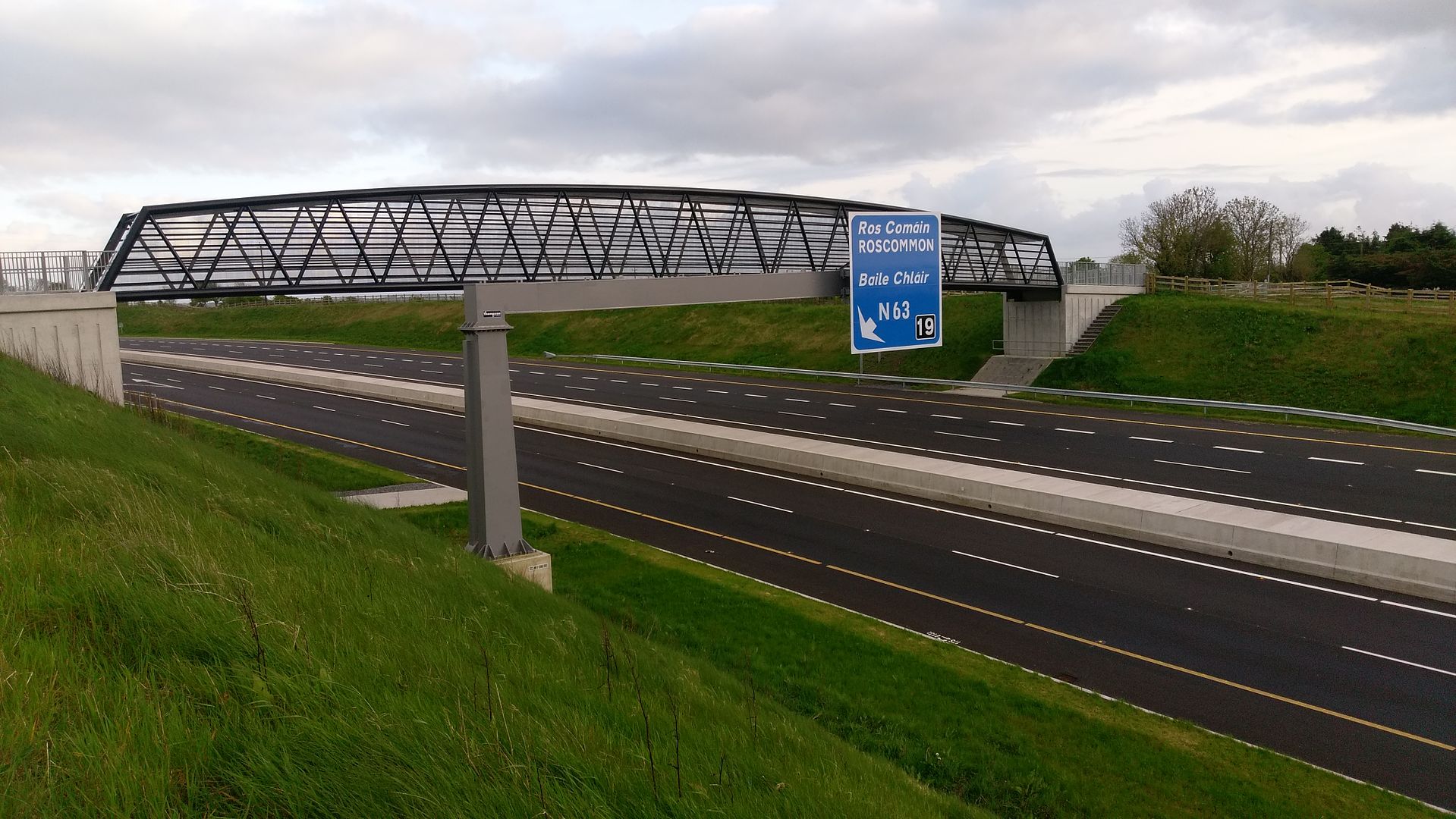
    Found it. It's the bridge at Annagh hill. You posted a photo last year

    https://www.boards.ie/vbulletin/showpost.php?p=103235988&postcount=5802

    It caught my eye because from the motorway, it looks like it is connecting a farm yard to adjoining land, but from the map, you can see it is linking a former road.


  • Registered Users Posts: 4,321 ✭✭✭m17


    plodder wrote: »
    Found it. It's the bridge at Annagh hill. You posted a photo last year

    https://www.boards.ie/vbulletin/showpost.php?p=103235988&postcount=5802

    It caught my eye because from the motorway, it looks like it is connecting a farm yard to adjoining land, but from the map, you can see it is linking a former road.

    Here's this year's
    IMAG2637_zpsfbr4vuap.jpg


  • Registered Users Posts: 4,321 ✭✭✭m17


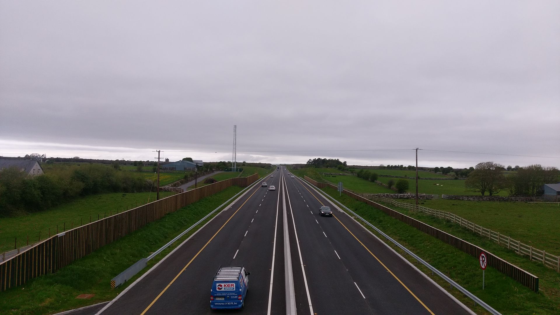
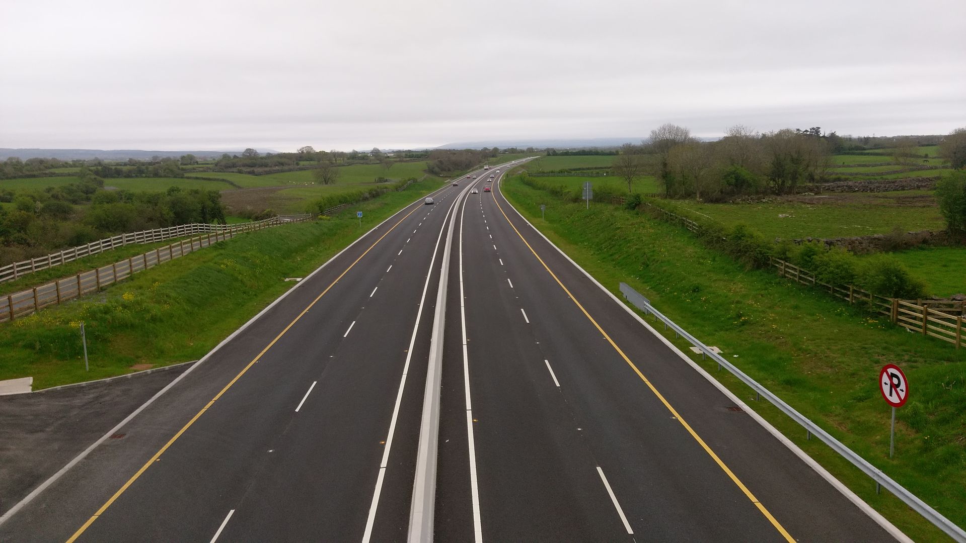
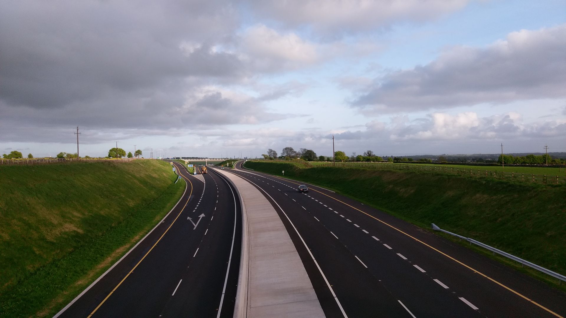
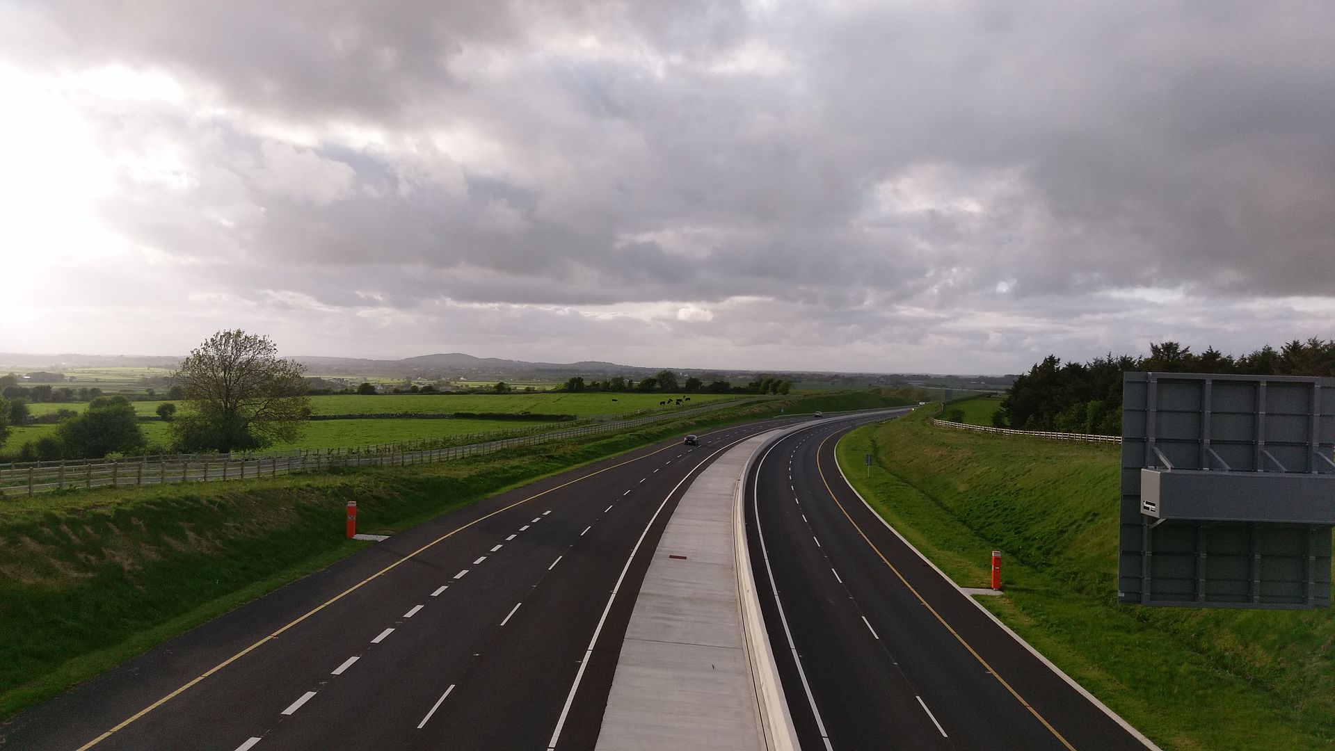
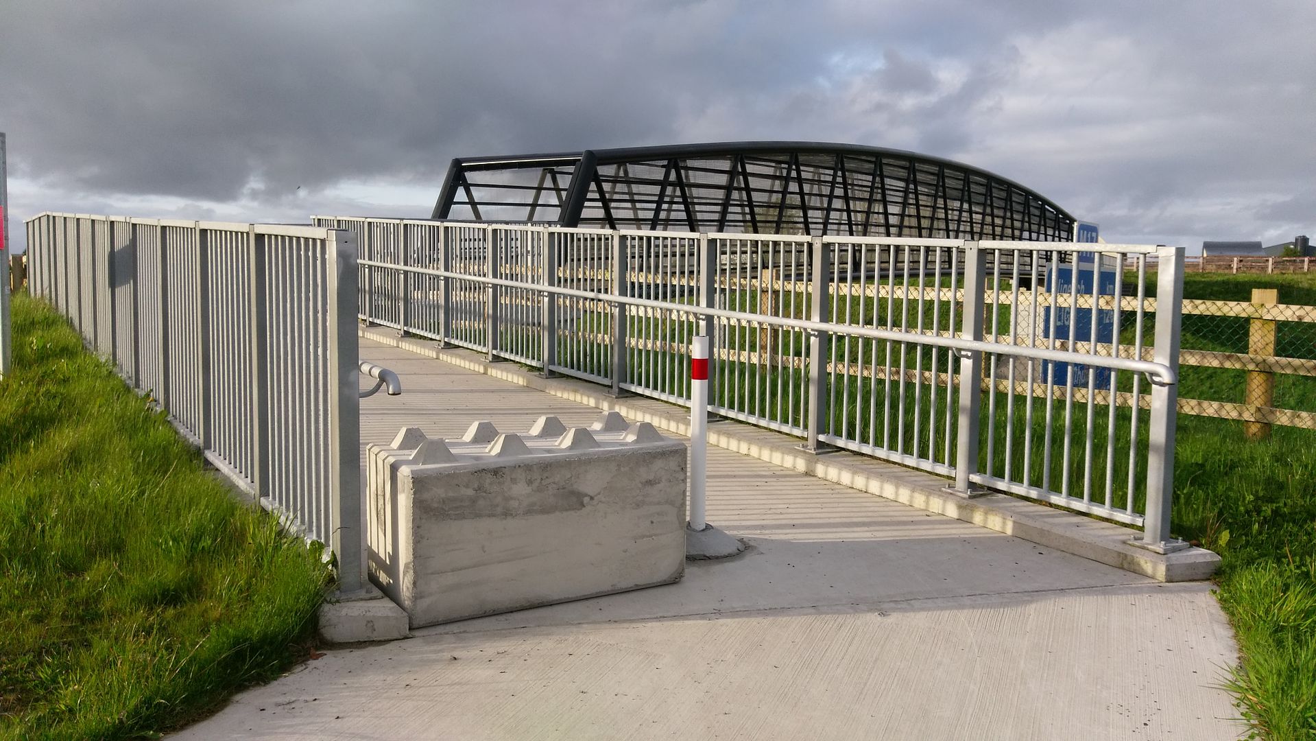
    Pics around annagh hill 08/05/18 looking towards rathmorrissy with the traffic crops with the speed camera on the slip road on the right hand side
    IMAG3261_zpsbowv0tvb.jpglooking towards tuamIMAG3262_zps2inykoof.jpgfootbridgeIMAG3263_zpssatxevit.jpgrathmorrissy sideIMAG3264_zps7gxjbskn.jpgtuam sideIMAG3267_zpsaz34t46k.jpg


  • Registered Users Posts: 4,967 ✭✭✭what_traffic


    m17 wrote: »
    Pics around annagh hill 08/05/18 looking towards rathmorrissy with the traffic crops with the speed camera on the slip road on the right hand side
    IMAG3261_zpsbowv0tvb.jpglooking towards tuamIMAG3262_zps2inykoof.jpgfootbridgeIMAG3263_zpssatxevit.jpgrathmorrissy sideIMAG3264_zps7gxjbskn.jpgtuam sideIMAG3267_zpsaz34t46k.jpg

    Whats with the big CONCRETE block in the 3rd pic @M17? Is the BOLLARD just a piece of flimsy plastic?


  • Registered Users Posts: 4,321 ✭✭✭m17


    Whats with the big CONCRETE block in the 3rd pic @M17? Is the BOLLARD just a piece of flimsy plastic?

    That's a concrete bollard it's to keep the locals out because some of them were driving there tractors over the footbridge as a short cut


  • Advertisement
  • Registered Users Posts: 4,321 ✭✭✭m17


    RATHMORRISSY 02/05/16IMAG1589_zpszcfvxauh.jpg
    02/05/18
    IMAG12247_zpsu4idwmct.jpg


Advertisement