Advertisement
If you have a new account but are having problems posting or verifying your account, please email us on hello@boards.ie for help. Thanks :)
Hello all! Please ensure that you are posting a new thread or question in the appropriate forum. The Feedback forum is overwhelmed with questions that are having to be moved elsewhere. If you need help to verify your account contact hello@boards.ie

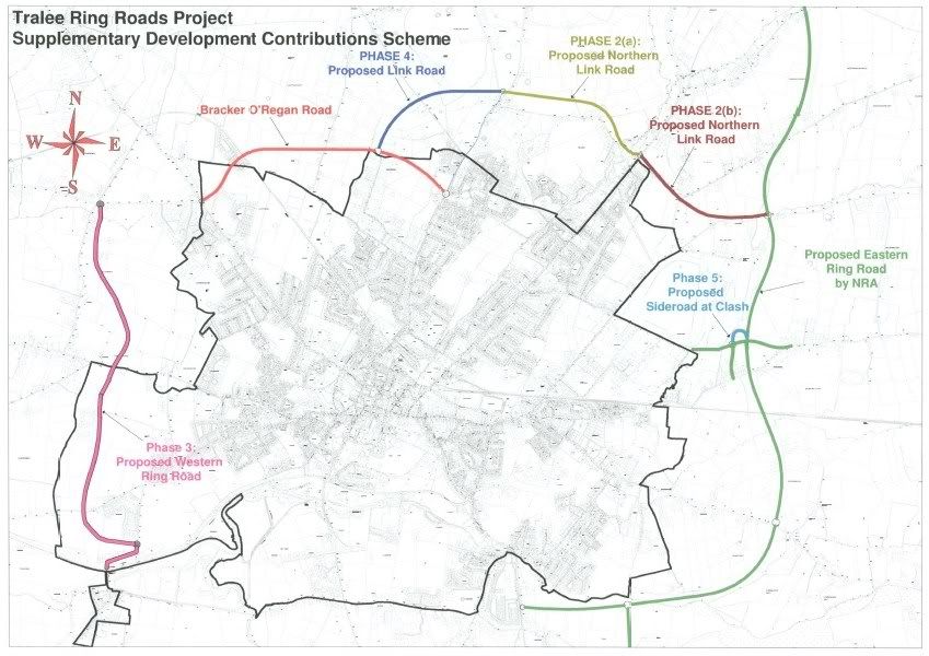
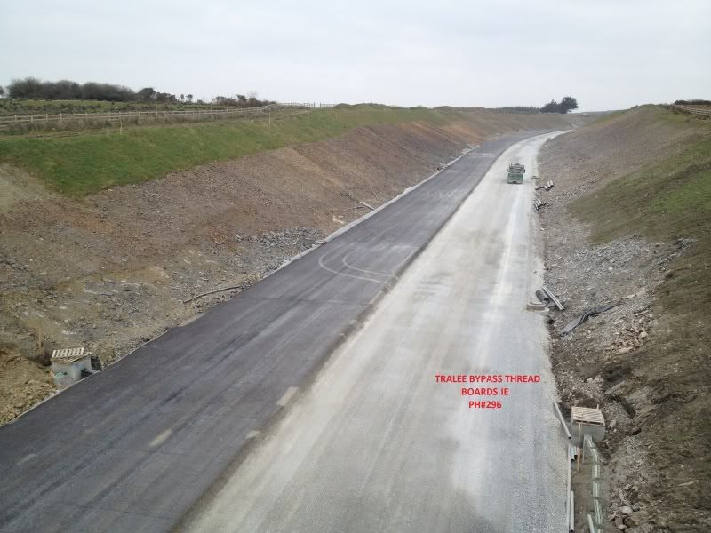
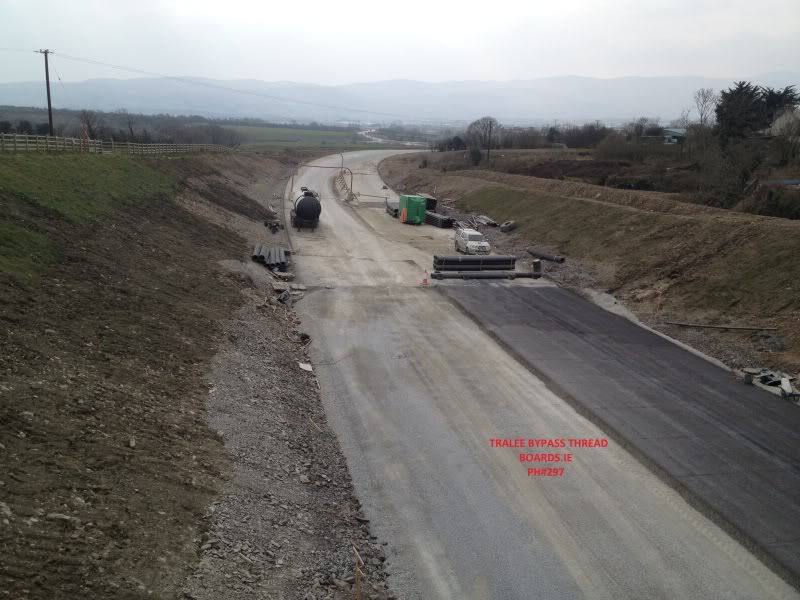
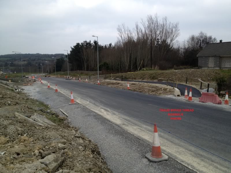
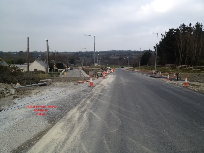
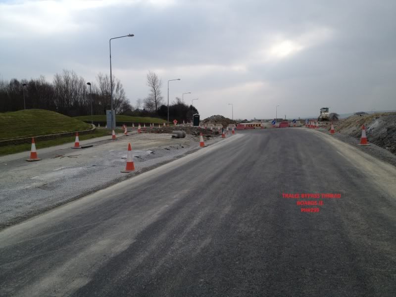
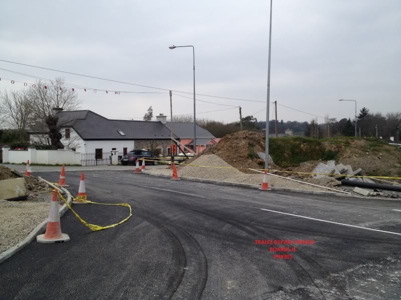
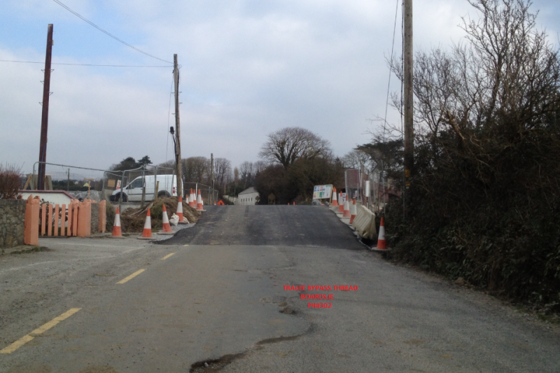
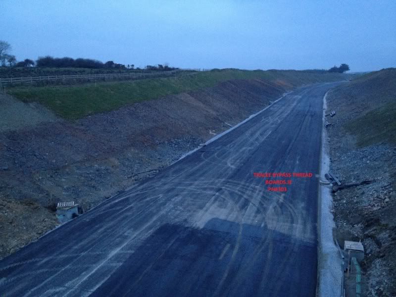
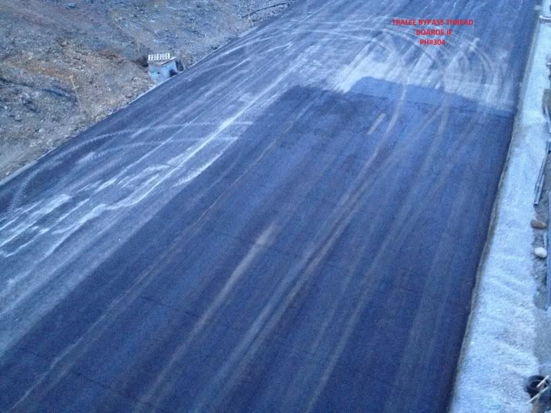
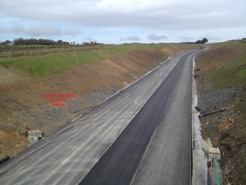
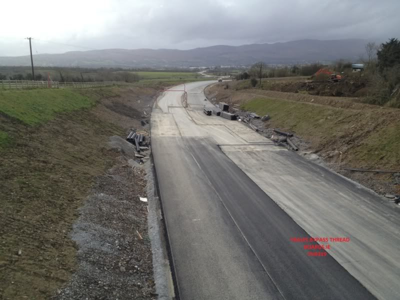
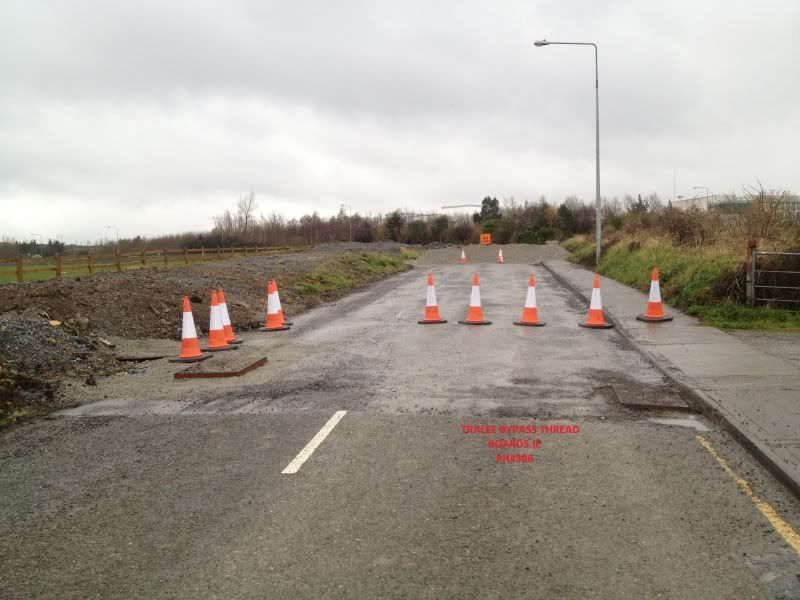
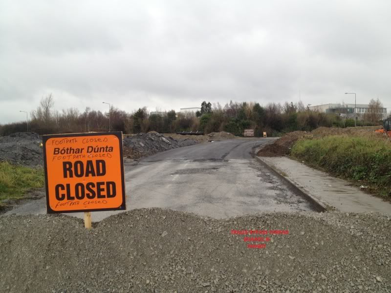
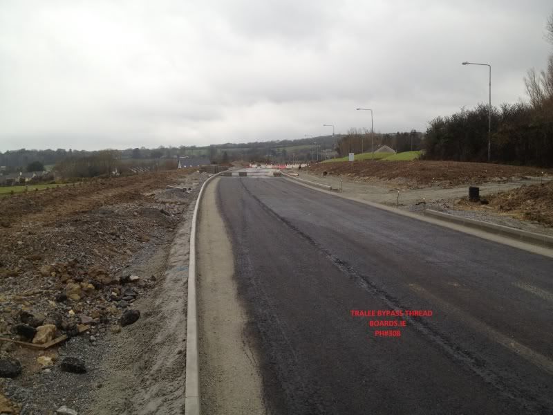
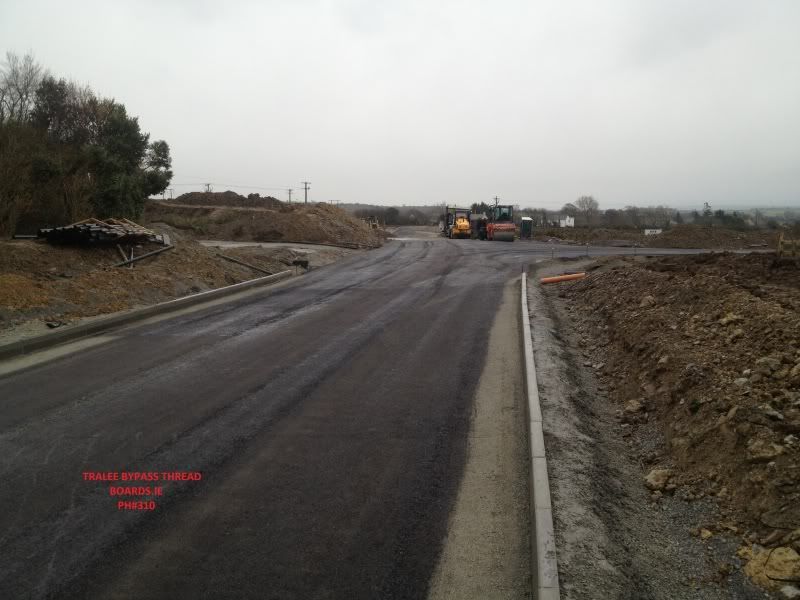
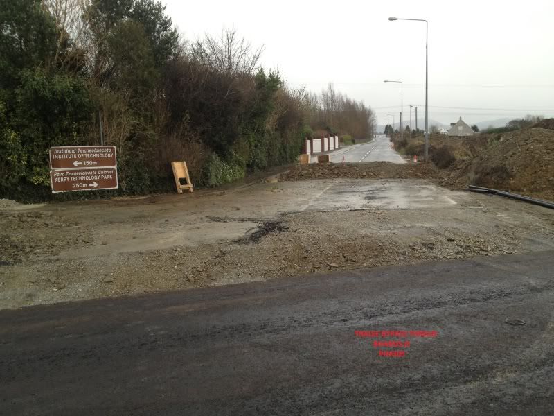
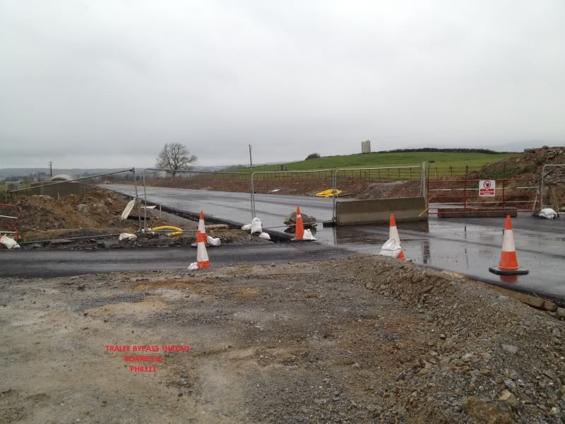
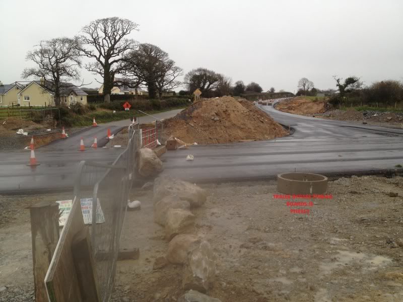
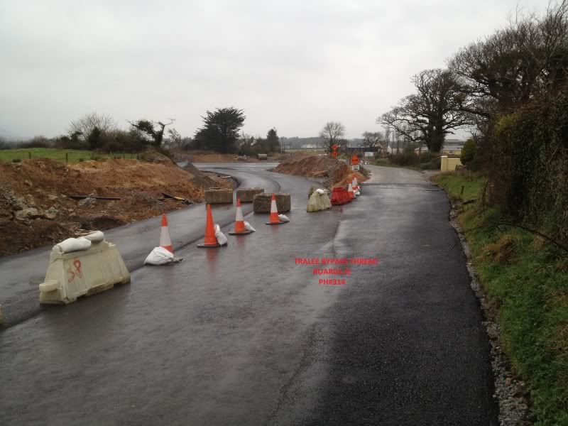
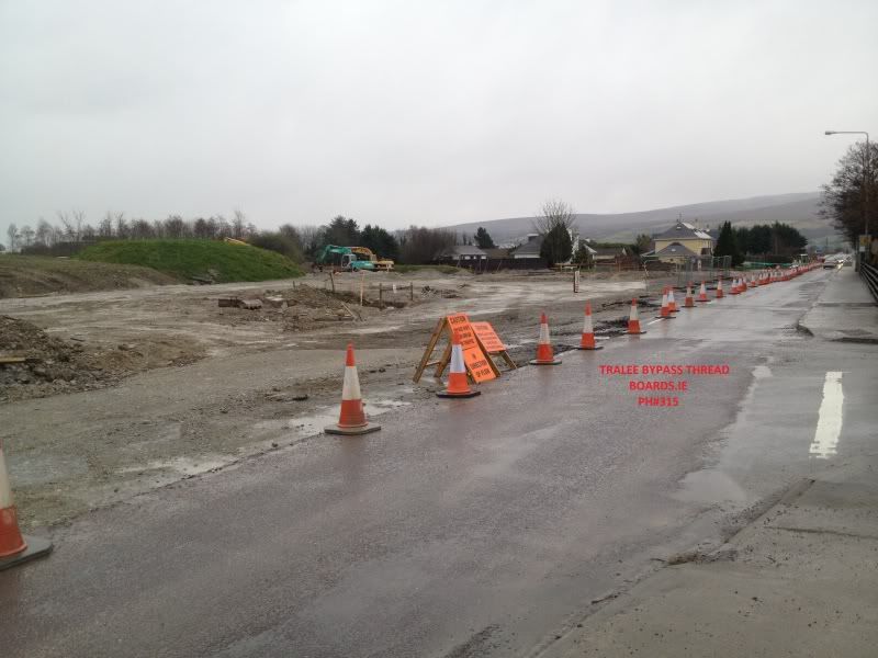
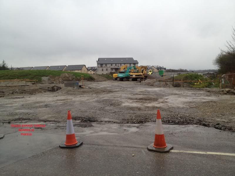
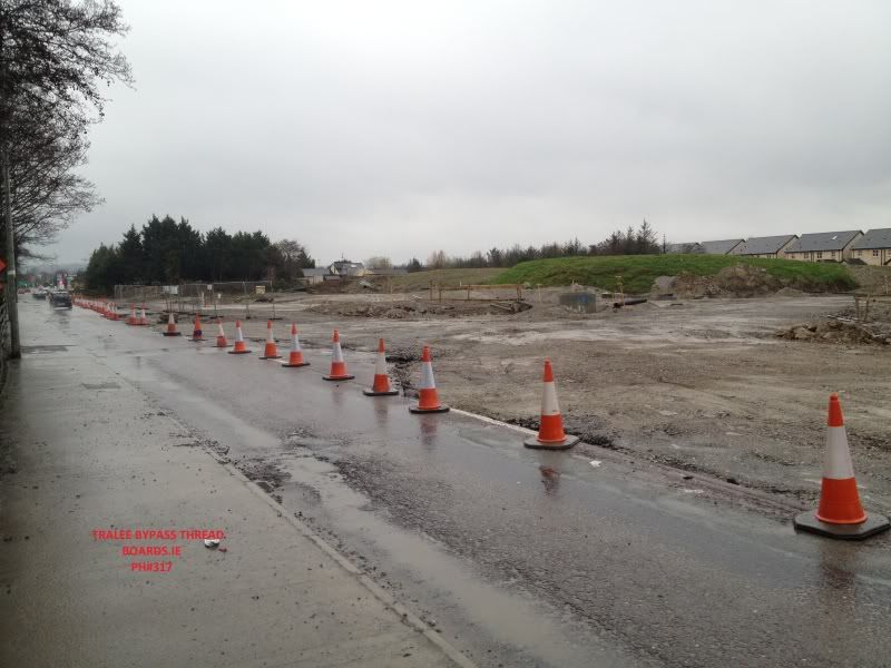
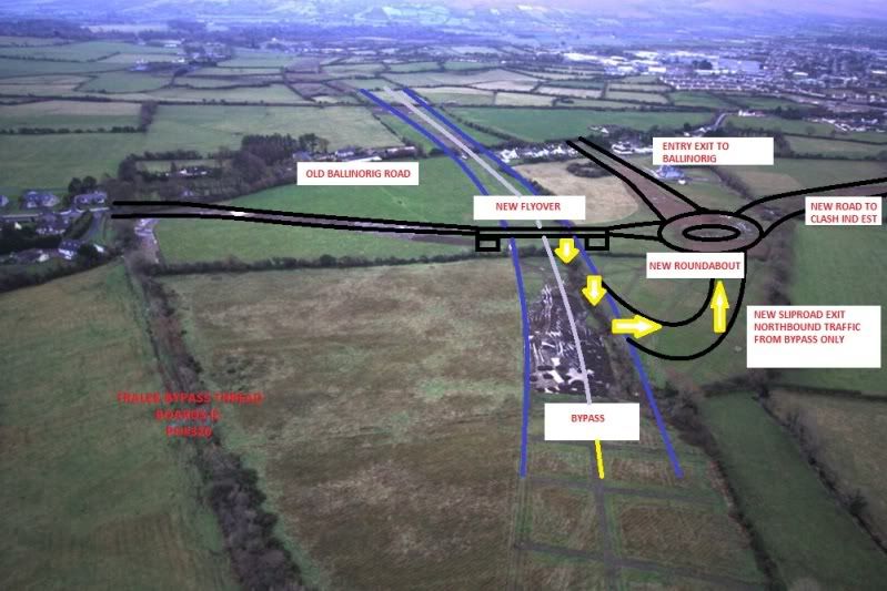
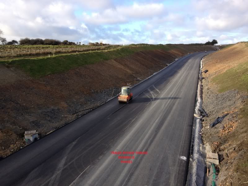
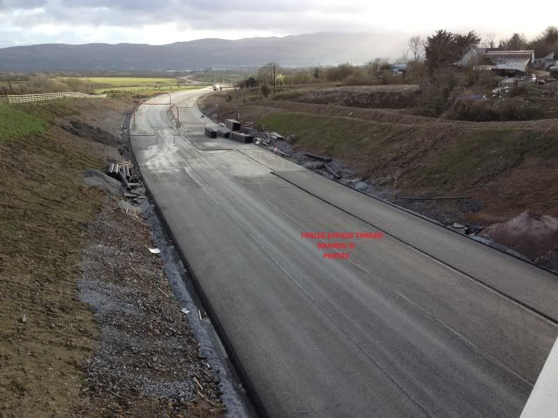
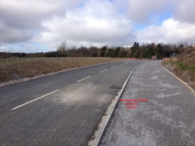
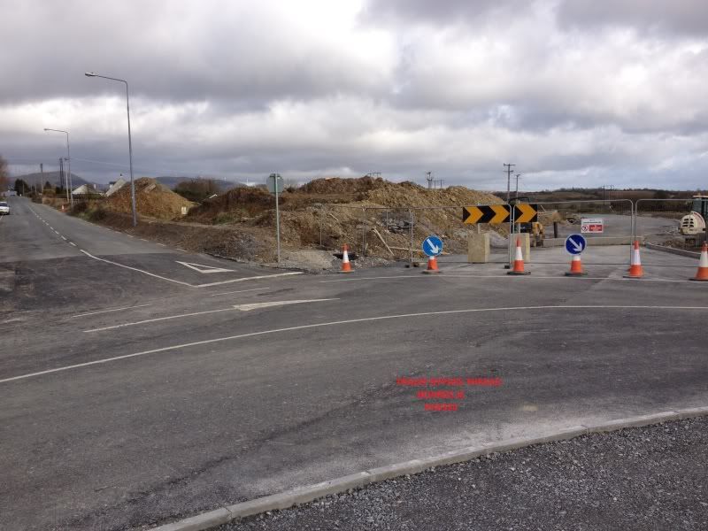
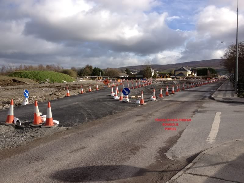
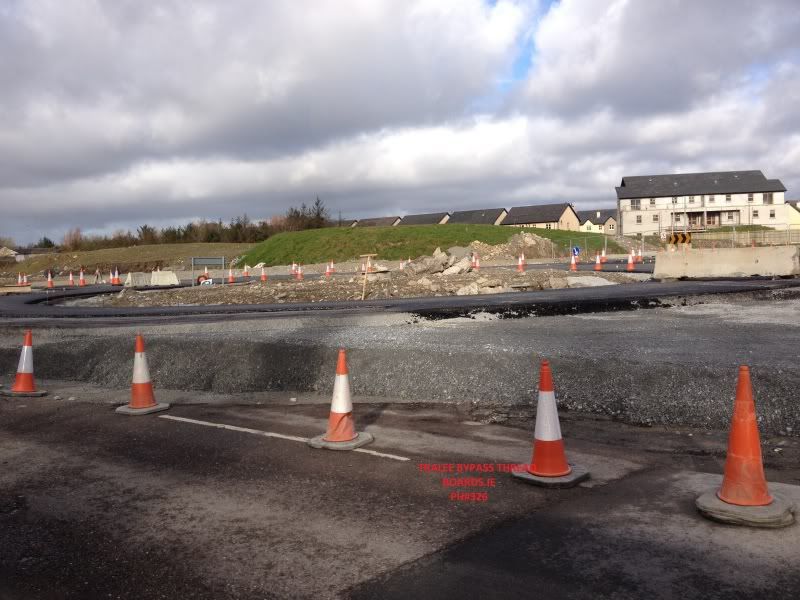
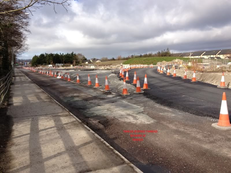
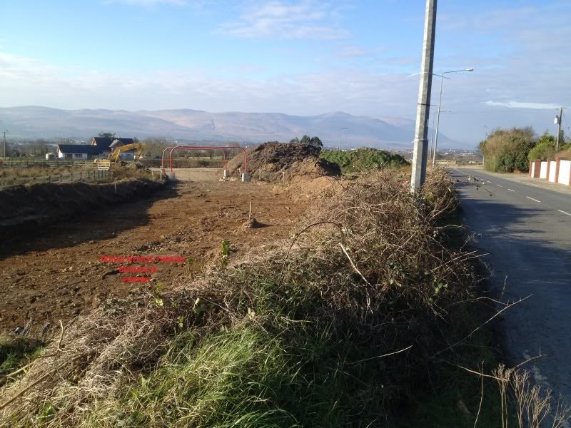
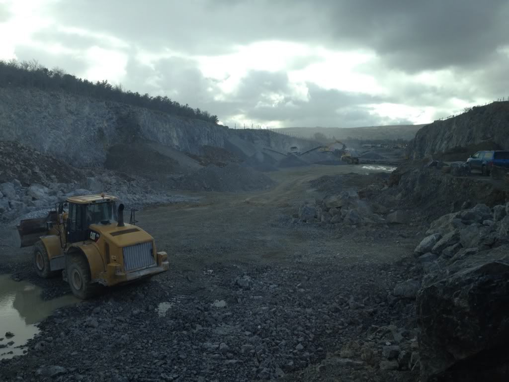
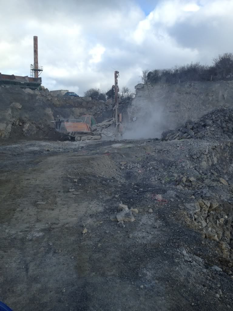
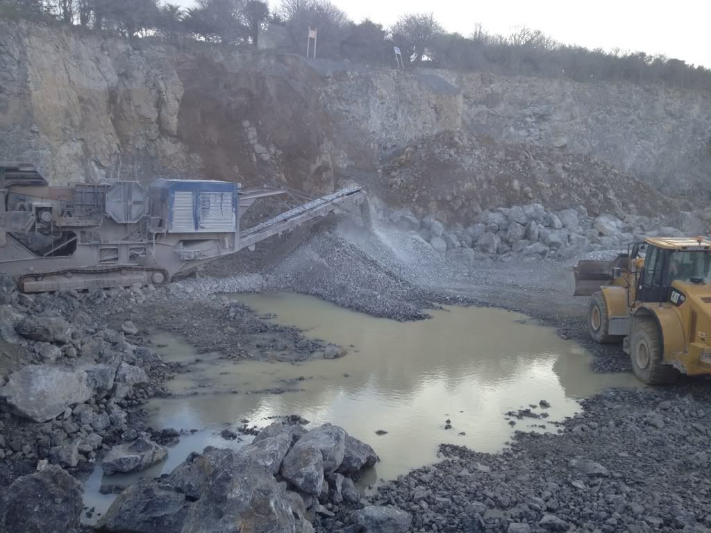
N69/N22/N70 Tralee Bypass

Options
1202123252648

Comments

  • Site Banned Posts: 60 ✭✭Kerry County Council


    These are the proposals for a Ring road of sorts around Tralee, some of it is completed already like the Braker o Regan road or 'The Fat Mile' to give it its more common name....


    ringroads.jpg
    Exactly.

    The eastern side consists of the Bypass which is currently under construction and is funded by the NRA.

    The proposals for the western side of the town is to link the Listowel Road (N69) to the Dingle Road (N86) through a series of link roads.

    The first of these is already in place, the Bracker O'Regan road, and the next phase proposed is to link this road (at the Abbeydorney road side) to the N69.

    However, the difficulty, is that unlike the Bypass on the eastern side, which is NRA funded, funding for the western link roads has to come from local sources.


  • Registered Users Posts: 31 MacLondon


    Released: 22 February 2013

    Notice is hereby given that, pursuant to Section 75 of the Roads Act, 1993, and the Temporary Closing of Roads Regulations, 1994, Kerry County Council proposes to close to public traffic the following Local Roads:

    Local Road L-2015 (Ballybeggan Road), in the townland of Ballybeggan, for a period of five (5) days between the dates of Monday, 1st April 2013 and Friday, 5th April 2013.

    Local Road L-6510 (Knockawaddra Road), in the townlands of Knockawaddra Middle, for a period of three (3) days between the dates of Monday, 8th April 2013 and Wednesday, 10th April 2013.

    The purpose of the road closures is to avoid major interface between construction plant and road users (General Public) and to facilitate the construction of the N22/N69 Tralee Bypass Road Improvement Scheme.


  • Registered Users Posts: 31 MacLondon


    Just for people's information, as road changes occur with the bypass it is possible to help keep Google Maps up to date. Just get the relevant road/area up on Google Maps and click on "Report a problem" near the bottom right corner and a pop-up will appear where you can notify them on any error or out of date information.

    Probably best to choose "Road / Street" > "Other road / street / path problems" to notify them of changes related to the bypass as you can give them more details, probably the more details the better, maybe even links to posts on this thread.

    They might take a week or so to check out the problem and, if you've chosen to get an email response, they will let you know when they've undated the map.

    Apart from the bypass changes, you can also use "Report a problem" to notify them of wrongly named or unnamed roads etc. in the area.


  • Registered Users Posts: 11,318 ✭✭✭✭carchaeologist


    2-3-13
    CBM partially laid under Knockwaddra overbridge.

    North view..
    IMG_0366_zpse515e883.jpg

    And south..
    IMG_0367_zpsd316966a.jpg

    3-3-13

    New Dromtacker road, now open as far as the college from Forge cross roundabout. Knockwaddra traffic seems to be diverted through the college itself.

    IMG_0397_zps2501d7bf.jpg

    IMG_0399_zpsaa0e7e47.jpg

    View looking up towards College entrance.
    IMG_0398_zps890c26c1.jpg

    New entrance to new cul de sac which was the old road.
    IMG_0400_zpsc3e0912a.jpg
    3-3-13

    Crossover point at Ballinorig, the road has been built across the old road now, although its still possible to cross here for the time being.

    View looking out from Tralee.
    IMG_0406_zps12b39196.png


  • Registered Users Posts: 11,318 ✭✭✭✭carchaeologist


    5-3-13

    Knockwaddra bridge.
    CBM now completly laid under here, pics taken late this eve in the dusk so quality is not as good as usual.

    View North.
    IMG_0427_zpsc35382e2.jpg

    Close up of the last section that was laid just under the bridge. Does anyone know why the CBM is marked out in sections as can be seen, its very accuratly done?
    IMG_0428_zpsbb8eba64.jpg


    Seems to be a lot of diggers working on the sides of the dual carriageway section just off the Leith roundabout section, is it land scaping i wonder?:confused:


  • Advertisement
  • Registered Users Posts: 11 Cood


    Can anyone enlighten me on the Ballinorig Road Junction with the new bypass - Am I right in saying that you cannot exit the Ballinorig road onto the new bypass?, it seems from the work that its just a flyover with no slip road to exit onto the bypass


  • Registered Users Posts: 815 ✭✭✭Quaderno


    Cood wrote: »
    Can anyone enlighten me on the Ballinorig Road Junction with the new bypass - Am I right in saying that you cannot exit the Ballinorig road onto the new bypass?, it seems from the work that its just a flyover with no slip road to exit onto the bypass


    I can't answer the question directly, but the layout of the junction/roundabout is visible very clearly on these aerial images: http://www.bing.com/maps/?v=2&cp=52.274831~-9.665284&lvl=16&dir=0&sty=a&form=LMLTCC

    Those maps are really interesting and not older than a few months, probably taken last autumn...


  • Registered Users Posts: 31 MacLondon


    Cood, you are right in what you said.

    I've read previously that there will be only one slip road at the Ballinorig Road Junction. This will only be for northbound traffic on the bypass to exit the bypass.

    There will be no exit for southbound traffic, and no slip road to drive onto the bypass in either direction at this junction.


  • Registered Users Posts: 11 Cood


    Thanks guys, the link confirmed what I was thinking. I get the feeling that not many coming over the new bypass will revert back to the existing Ballinorig road, guess that just means more traffic heading onto the clash road, won't that be fun with the train already causing mayhem there in the mornings!


  • Moderators, Science, Health & Environment Moderators Posts: 5,057 Mod ✭✭✭✭spacetweek


    Quaderno wrote: »
    I can't answer the question directly, but the layout of the junction/roundabout is visible very clearly on these aerial images: http://www.bing.com/maps/?v=2&cp=52.274831~-9.665284&lvl=16&dir=0&sty=a&form=LMLTCC

    Those maps are really interesting and not older than a few months, probably taken last autumn...
    What does everyone think of the somewhat mysterious "Ph.5: Proposed Sideroad at Clash" in the Tralee Dev Map up top? Is that anything to do with it?


  • Advertisement
  • Registered Users Posts: 11,318 ✭✭✭✭carchaeologist


    spacetweek wrote: »
    What does everyone think of the somewhat mysterious "Ph.5: Proposed Sideroad at Clash" in the Tralee Dev Map up top? Is that anything to do with it?

    That is already built now is it not, at the far side of the new flyover in Ballinorig, you can exit left when heading North on the Bypass, this road will bring you up to a new roundabout just above Clash industrial estate with exits to the new Flyover, Clash industrial estate and the old Ballinorig road.


  • Registered Users Posts: 11,318 ✭✭✭✭carchaeologist


    9-3-13

    Knockwaddra overbridge

    Some of the first runs of tar have been laid here this week.

    North view.
    IMG_0496_zpsd7e2de97.jpg

    South view.
    IMG_0497_zpsfcf23673.jpg
    10-3-13

    New Ballybeggan/Knockwaddra junction

    Looking up from The Fabric centre road towards the college.
    IMG_0518_zps23b0840c.jpg

    IMG_0511_zpsb88fb717.jpg

    View down towards Forge cross from new Junction.
    IMG_0515_zpsf6b5fe7e.jpg

    Looking towards the new Ballybeggan roundabout from the college road.
    IMG_0516_zps96e6a72c.jpg

    Centre of the old Junction looking towards Knockwaddra.
    IMG_0514_zps6e489f79.jpg
    10-3-13

    Farmers bridge temporary crossover and new junction layout

    View towards Tralee.
    IMG_0521_zpsfd152447.jpg

    Temporary crossing.
    IMG_0522_zps5f3383a9.jpg

    New junction layout looking towards Farmers bridge.
    IMG_0524_zpsab67a9ee.jpg

    And new Junction looking towards Tralee from the other side of the road.
    IMG_0526_zps8d30f1b9.jpg
    10-3-13
    New Roundabout under construction N70/Castlemaine road

    View looking out from Tralee.
    IMG_0527_zpseb058fff.jpg

    View from centre of Roundabout down the new Bypass road.
    IMG_0528_zps5765e538.jpg

    View looking back in towards Tralee.
    IMG_0529_zps54f26fee.jpg

    Traffic lights in operation here now.


  • Registered Users Posts: 2,006 ✭✭✭Southern Dandy


    Is it true that the Farmers bridge road can/will no longer be used like it was before?, and that it has essentially been blocked off just after the entrance to ballyseedy woods permanently?.


  • Registered Users Posts: 11,318 ✭✭✭✭carchaeologist


    Is it true that the Farmers bridge road can/will no longer be used like it was before?, and that it has essentially been blocked off just after the entrance to ballyseedy woods permanently?.

    It seems to be, i wondered what the story was with it when i was up there this afternoon, there only seems to be provison for a junction on the Farmers Bridge side as can be seen in the pictures at the moment anyway. Possibly a crossroad type junction is a bad idea there on safety grounds? The new crossroad junction up by the college is a staggered junction, but then again in saying that, that road is not a main road like the farmers bridge one in carrying the Killarney traffic.

    Here is a very amatuerish:o diagram i put together of the new Ballinorig interchange showing how the sliproad will work in practice.
    tralee_bypass_interchange_for_clash_and_local_access_zps7f7691ad.jpg


  • Registered Users Posts: 2,455 ✭✭✭dmeehan


    Not amatuerish at all, explains it better than some of the official ones


  • Site Banned Posts: 60 ✭✭Kerry County Council


    Is it true that the Farmers bridge road can/will no longer be used like it was before?, and that it has essentially been blocked off just after the entrance to ballyseedy woods permanently?.


    If you're on the Castlemaine Road and you want to head up towards Farmersbridge, you will no longer turn off at Skehanagh.

    Now you will turn off at the new roundabout currently under construction beside Gallys (where the traffic lights/one way traffic is), onto the Bypass. About quarter of a mile in there's a second roundabout and you will turn right onto the Tralee-Bealagrellagh section.

    If you're going to Ballyseedy Woods (Southern Car Park) you will come off where the new road crosses the 'old road' at Moynihans/new Mitchels Pitch.

    If you're going to Farmersbridge itself you will continue on the new road and turn off where it recrosses the 'old road'.


  • Closed Accounts Posts: 209 ✭✭traleespud


  • Registered Users Posts: 2,455 ✭✭✭dmeehan


    Dromthacker Road has finally re-opened, only a week and a half late!


  • Registered Users Posts: 11,318 ✭✭✭✭carchaeologist


    15-3-13

    Knockwaddra overbridge

    Finish tar surface being laid this week. Hamm road roller driving up the new road, the tar machine can just be seen working at the very top of the road.

    View North
    IMG_7468_zps5d915865.jpg

    And South
    IMG_7469_zps2b0a4240.jpg
    17-3-13

    New Ballybeggan/Knockwaddra junction

    Road partially completed here as far as the junction.

    View up from the Fabric centre road.
    IMG_7507_zpsc7e116dd.jpg

    Temporary Junction until the full road is completed.
    IMG_7510_zps4ee50c31.jpg
    17-3-13
    New Roundabout under construction N70/Castlemaine road

    Some surfacing completed this week, only partially though. The road leaving town now is routed through the roaundabout, but not the road entering the town.

    View looking out from town.
    IMG_7511_zpsdd8e6bd8.jpg

    View looking down new road at slightly off centre of roundabout.
    IMG_7512_zps4ba343b3.jpg

    View looking in towards town.
    IMG_7514_zpsc3179438.jpg


  • Registered Users Posts: 2,455 ✭✭✭dmeehan


    MacLondon wrote: »
    Released: 22 February 2013

    Notice is hereby given that, pursuant to Section 75 of the Roads Act, 1993, and the Temporary Closing of Roads Regulations, 1994, Kerry County Council proposes to close to public traffic the following Local Roads:

    Local Road L-2015 (Ballybeggan Road), in the townland of Ballybeggan, for a period of five (5) days between the dates of Monday, 1st April 2013 and Friday, 5th April 2013.

    Local Road L-6510 (Knockawaddra Road), in the townlands of Knockawaddra Middle, for a period of three (3) days between the dates of Monday, 8th April 2013 and Wednesday, 10th April 2013.
    Does anyone know if tyhis is still going ahead as scheduled? In light of the fact that the Dromthacker Road closure took over an extra 50% longer than estimated


  • Advertisement
  • Registered Users Posts: 11,318 ✭✭✭✭carchaeologist


    Local Road L-2015 (Ballybeggan Road), in the townland of Ballybeggan, for a period of five (5) days between the dates of Monday, 1st April 2013 and Friday, 5th April 2013.

    Is this to facilitate the building of the road from the new roundabout in Ballybeggan up to where the new road now exists past the college? The existing temporary road onto the roundabout will be removed making the old road a cul de sac up past the Jehovahs hall.
    Local Road L-6510 (Knockawaddra Road), in the townlands of Knockawaddra Middle, for a period of three (3) days between the dates of Monday, 8th April 2013 and Wednesday, 10th April 2013.

    I imagine this closure is to allow for the construction of the new road onto the existing road here?
    IMG_0235_zpsf8a24a08.jpg


  • Registered Users Posts: 5,201 ✭✭✭ongarboy


    Someone shared this with me on FB today - thought the visibility of the new bypass was impressive!!

    attachment below.


  • Registered Users Posts: 11,318 ✭✭✭✭carchaeologist


    Shot too soon lol, see post below!


  • Registered Users Posts: 11,318 ✭✭✭✭carchaeologist


    ongarboy wrote: »
    attachment below
    245670.jpg

    I get ya now! That is seriously impressive!! Thanks for sharing it!!


  • Registered Users Posts: 5,201 ✭✭✭ongarboy


    How do you mean the visibility?

    Sorry, you're too quick for me - was in the middle of editing!:) Can you see the outline of the bypass in the attachment?


  • Registered Users Posts: 11,318 ✭✭✭✭carchaeologist


    ongarboy wrote: »
    Sorry, you're too quick for me - was in the middle of editing!:) Can you see the outline of the bypass in the attachment?

    I can , i just saw your post, without the attatchment and it made no sense! Great pic, anyone know how it came about?


  • Registered Users Posts: 5,201 ✭✭✭ongarboy


    I can , i just saw your post, without the attatchment and it made no sense! Great pic, anyone know how it came about?

    If you are on Facebook, check out the ActiveMeIreland page. Lots of other cool aerial pics of Ireland. Description of this photo below from the FB page.

    Tralee from space, looking great. Thanks to Col. Chris Hadfield onboard the International Space Station
    Tralee, Ireland, nestled in the first green we see after soaring across the Atlantic.


  • Moderators, Science, Health & Environment Moderators Posts: 5,057 Mod ✭✭✭✭spacetweek


    N69/70/22. Am I right in saying that the west-east singler will be the new N22, the dualler between the N70 and the N22 will be N70 and the rest of the dual up to north of the town will be N69? Has this been decided?


  • Registered Users Posts: 96 ✭✭Hoof Hearted


    This may have been discussed before, but what was the key reason for having the bypass go so far north before connecting the N69. It seems that if the extra road (currently going north) headed west closer to town (below Tralee IT), and then it could have connected on to the R556 road for probably the same cost, and more likely fulfil the goal of diverting traffic from the town. It is likely now that the northern part of the road (north of Ballinorig) will be a "ghost road", quieter than some bothreens. I was even thinking about this when I first saw the plans for it when the first came out (was that 7 or 8 years ago?)

    Perhaps the vision is/was that it will spur development and growth in that part of town, with the Technology Park and all?

    I think the new east-west N22 section south of the current N21 will be well used, and take the pressure of the present N21 around the Manor West area. That said, the junctions will be the bottleneck, especially with the N70 Killorglin road. I don't think it will be long open before Dingle Peninsula bound drivers will figure out to get off the new N22 at Farmer's Bridge and cut across to Tonavane Cross near Blennerville, to in effect bypass town.

    After opening it will be interesting to see the look of bewilderment on the faces of drivers coming from Killarney, most I suspect who don't have a clue of the details of this project. They will all be following eachother like lost sheep, going in circles around roundabouts serveral times looking and feeling like Mr. Bean. The fact that so much of this project is green field and offline from existing roads, some who may never have been outside Kerry will be dumbfounded at the scope of this project, some may even end up in Listowel, when they were trying to get to Tralee :).


  • Advertisement
  • Banned (with Prison Access) Posts: 7,771 ✭✭✭michael999999


    I'm travelling listowel to killarney daily, and I'm still trying to figure out where to join the bypass. There seems to be more entrances and exits it'll take a bit of getting use to.


Advertisement