Advertisement
If you have a new account but are having problems posting or verifying your account, please email us on hello@boards.ie for help. Thanks :)
Hello all! Please ensure that you are posting a new thread or question in the appropriate forum. The Feedback forum is overwhelmed with questions that are having to be moved elsewhere. If you need help to verify your account contact hello@boards.ie

Photos taken on your cycle.

Options
17475777980241

Comments

  • Registered Users Posts: 367 ✭✭slideshow bob


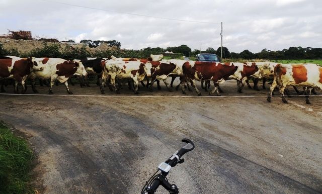
    Couple of shots from recent holiday. Some nice cycle trails in Côtes-d'Armor.

    269701.JPG

    269702.JPG

    269703.JPG


  • Registered Users Posts: 648 ✭✭✭slap/dash


    Couple of shots from recent holiday. Some nice cycle trails in Côtes-d'Armor.

    269701.JPG

    269702.JPG

    269703.JPG

    that first pic is enough to make me look up cyclocross bikes and learn french


  • Registered Users Posts: 367 ✭✭slideshow bob


    slap/dash wrote: »
    that first pic is enough to make me look up cyclocross bikes and learn french
    The "learn French" bit would lead to a far duller holiday. I entered a 12k running race out there which sounded fun. Turned out it included 470m of climb and descent :eek:. If I'd had enough French to translate the route description I'd have lingered over breakfast instead. During that race I cursed the poor standards of French taught in school when I was growing up.


  • Closed Accounts Posts: 20,297 ✭✭✭✭Jawgap


    Oldbridge today.....

    1239981_10151798248162086_907770466_n.jpg


  • Closed Accounts Posts: 2,889 ✭✭✭feck sake lads


    Jawgap wrote: »
    Oldbridge today.....

    1239981_10151798248162086_907770466_n.jpg
    nice bike:cool::cool:


  • Advertisement
  • Registered Users Posts: 5,139 ✭✭✭nilhg


    Tough going in the wind today to get up Turlough Hill, view was worth it though.


    9645071261_64fc9d57ce_b.jpg
    Turlough Hill pano-1 by cilldara, on Flickr


  • Registered Users Posts: 1,121 ✭✭✭ghogie91


    Top of the first climb in the ROK this year :)


  • Registered Users Posts: 149 ✭✭hueylewis


    Saw someone on here mention that there was a way up to three rock in behind Buckley's Fireplaces on Ballyedmonduff road. I go past it very frequently, so I turned in and headed up today before stopping a few corners up because I thought I might have taken a wrong turn and gone down someone's driveway. Stopped a little way down and took some pics.

    q45SUyt.jpg

    And in case you ever wanted to know what goes on behind the scenes in Buckley's Fireplaces, well, that's where they keep their industrial size water cooler.

    ygOc6ZW.jpg


  • Closed Accounts Posts: 318 ✭✭GreyEagle


    View of Annagassan harbour, site of the first Viking fortified settlement in about 821AD:

    DSCN4150_zpsb79cb436.jpg


    Temporary road closure between Clogherhead and Annagassan, note the electric fence:

    DSCN4144_zpsbb2d13ba.jpg


  • Closed Accounts Posts: 2,889 ✭✭✭feck sake lads


    next time your that way check out the house just over the bridge my son drew a picture of the village into the cement render looks good.:cool:


  • Advertisement
  • Closed Accounts Posts: 106 ✭✭jgreene83


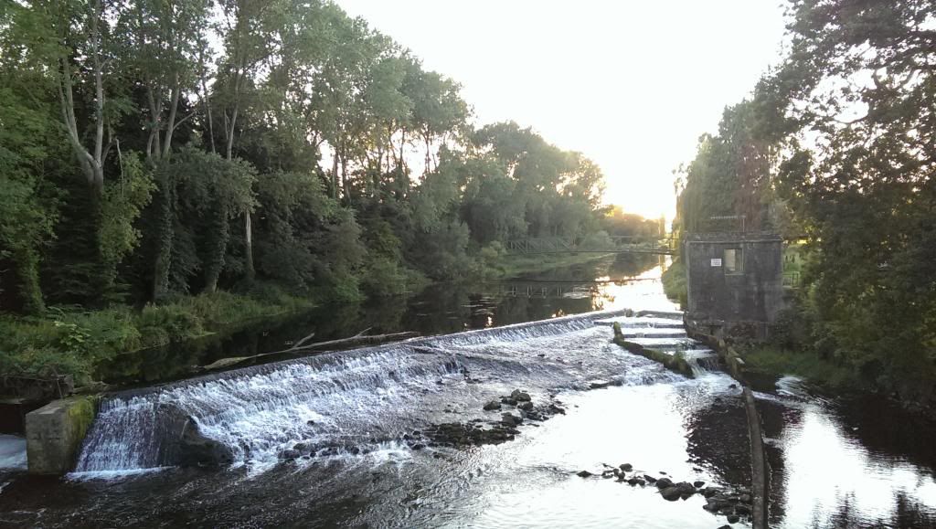
    Spin out by Athgoe, Ardclough, Straffan and back to Celbridge. Took this at Straffan Bridge just before the K Club.

    IMAG0502_zpsf122c063.jpg


  • Closed Accounts Posts: 6,925 ✭✭✭RainyDay


    hueylewis wrote: »
    Saw someone on here mention that there was a way up to three rock in behind Buckley's Fireplaces on Ballyedmonduff road. I go past it very frequently, so I turned in and headed up today before stopping a few corners up because I thought I might have taken a wrong turn and gone down someone's driveway. Stopped a little way down and took some pics.
    Did you follow the track up to Three Rock?


  • Closed Accounts Posts: 2,505 ✭✭✭colm_gti


    Makin' hay!

    270384.jpg


  • Registered Users Posts: 8,423 ✭✭✭wirelessdude01


    jgreene83 wrote: »
    Spin out by Athgoe, Ardclough, Straffan and back to Celbridge. Took this at Straffan Brdge just before the K Club.

    IMAG0502_zpsf122c063.jpg

    I do that spin a good bit as well.


  • Registered Users Posts: 149 ✭✭hueylewis


    RainyDay wrote: »
    Did you follow the track up to Three Rock?

    Nah, I wasn't sure I was going the right way so had a look on google maps when I got back. Turns out I was going the right way and had stopped about 100m short of the private road, so nowhere close really. I assume I keep heading up that way but I'll eventually encounter gravel or a dirt track that leads to the masts? Would be a nicer, quieter route up as opposed to the Ticknock side with lots of pedestrians, but the Ticknock side would have preferable terrain. Any idea how much normal road there is to ride after passing the private road sign? If there's a decent stretch it might still be worth heading up, as the climb seems nice and challenging from what I did ride of it.


  • Closed Accounts Posts: 6,925 ✭✭✭RainyDay


    hueylewis wrote: »
    Nah, I wasn't sure I was going the right way so had a look on google maps when I got back. Turns out I was going the right way and had stopped about 100m short of the private road, so nowhere close really. I assume I keep heading up that way but I'll eventually encounter gravel or a dirt track that leads to the masts? Would be a nicer, quieter route up as opposed to the Ticknock side with lots of pedestrians, but the Ticknock side would have preferable terrain. Any idea how much normal road there is to ride after passing the private road sign? If there's a decent stretch it might still be worth heading up, as the climb seems nice and challenging from what I did ride of it.

    Would you believe that I've never seen the 'private road' sign, because I've only come down the road from Three Rock. I've never gone up the road. It is quite short anyway, and you come to a gate/barrier across the road pretty quickly. Throw the bike over the barrier, and follow the track until you come to a t-junction. Turn left, and follow that track back to the peak. There are lots of gravelly bits and a few mucky bits, so MTB tyres are best.


  • Registered Users Posts: 269 ✭✭bellinter


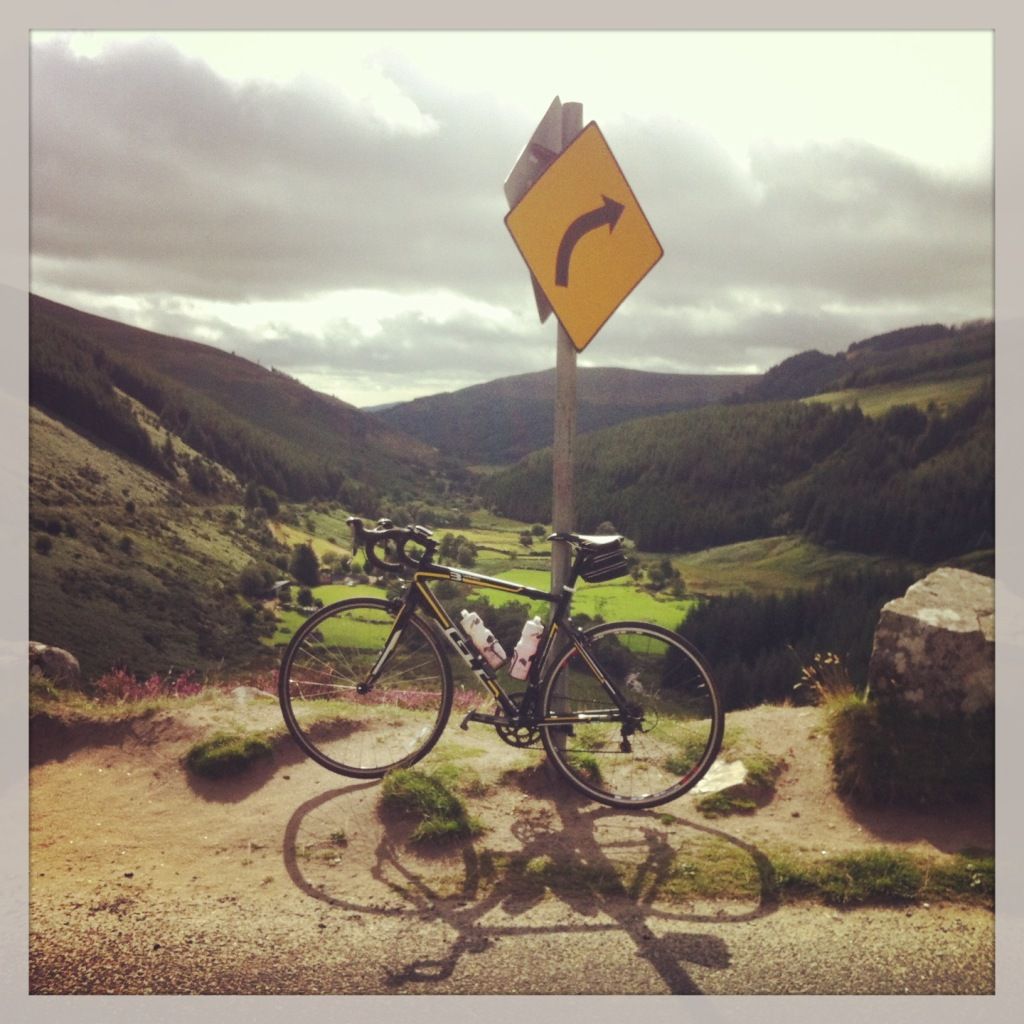
    on the decent to Laragh from Sally Gap last Friday

    null_zps5e870e14.jpg


  • Closed Accounts Posts: 106 ✭✭jgreene83


    I do that spin a good bit as well.

    It's a nice spin alright, esp if you throw Oughterard in as well!


  • Moderators, Society & Culture Moderators Posts: 15,750 Mod ✭✭✭✭smacl


    bellinter wrote: »
    on the decent to Laragh from Sally Gap last Friday

    You're doing it wrong! You stop on the ascent 'to take photos'. On the descent you grin like a mad yoke and enjoy the rush.


  • Registered Users Posts: 269 ✭✭bellinter


    smacl wrote: »
    You're doing it wrong! You stop on the ascent 'to take photos'. On the descent you grin like a mad yoke and enjoy the rush.

    I love that view from there though, as you come around the corner. Great place to take a food stop and enjoy the view!


  • Advertisement
  • Registered Users Posts: 149 ✭✭hueylewis


    RainyDay wrote: »
    Would you believe that I've never seen the 'private road' sign, because I've only come down the road from Three Rock. I've never gone up the road. It is quite short anyway, and you come to a gate/barrier across the road pretty quickly. Throw the bike over the barrier, and follow the track until you come to a t-junction. Turn left, and follow that track back to the peak. There are lots of gravelly bits and a few mucky bits, so MTB tyres are best.

    Cheers for that - I actually headed up again earlier and had a proper look. The private road sign is maybe 70 meters or so before the barrier. I stopped at the sign to have a look about before realising this (was looking at a grassy road to a gate to the left, but I think that's probably privately owned) so had to walk the bike up to the barrier like an eejit rather than attempt to clip in on that incline :) Unfortunately beyond the barrier would be too rough for my road tyres, but I'll definitely return to it in the future now that I know it exists! Also some lovely houses up there. Almost felt like I was trespassing on their land.


  • Registered Users Posts: 149 ✭✭hueylewis


    Third and last pic til I have something a little more interesting to share, but the view out to Howth was lovely in today's weather.

    LxJ677y.jpg


  • Closed Accounts Posts: 6,925 ✭✭✭RainyDay


    hueylewis wrote: »
    Also some lovely houses up there. Almost felt like I was trespassing on their land.

    Yeah, some nice ones, all right, like this beauty;

    http://goo.gl/maps/2mTjZ


  • Registered Users Posts: 1,063 ✭✭✭on_the_nickel


    From the top of Luz Ardiden, last Saturday.
    Luz_Ardiden2.jpg

    And from the Tourmalet on Monday:
    Tourmalet1.jpg


  • Registered Users Posts: 31 jumpgun


    Some where passed Swords towards Meath.


  • Registered Users Posts: 127 ✭✭mp2012


    Taken today in Hacketstown during a test run using the carradice SQR bag.

    rd6t.jpg

    Uploaded with ImageShack.us


  • Registered Users Posts: 24,987 ✭✭✭✭Wishbone Ash


    jumpgun wrote: »
    Some where passed Swords towards Meath.
    Presumably you passed near Ballyboughal Aerodrome?


  • Registered Users Posts: 141 ✭✭ian_rush


    Presumably you passed near Ballyboughal Aerodrome?

    You have ruined the next ncd picture hunt


  • Registered Users, Subscribers Posts: 2,142 ✭✭✭wanderer 22


    Up at the hellfire this morning - it was a lot more miserable than it looks here :D

    [IMG][/img]gezn.jpg Uploaded with ImageShack.us


  • Advertisement
  • Registered Users Posts: 2,333 ✭✭✭tampopo


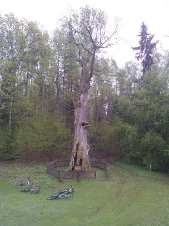
    The second oldest oak tree in Lithuania.

    Cyclejourney_zpsea92164e.jpg


Advertisement